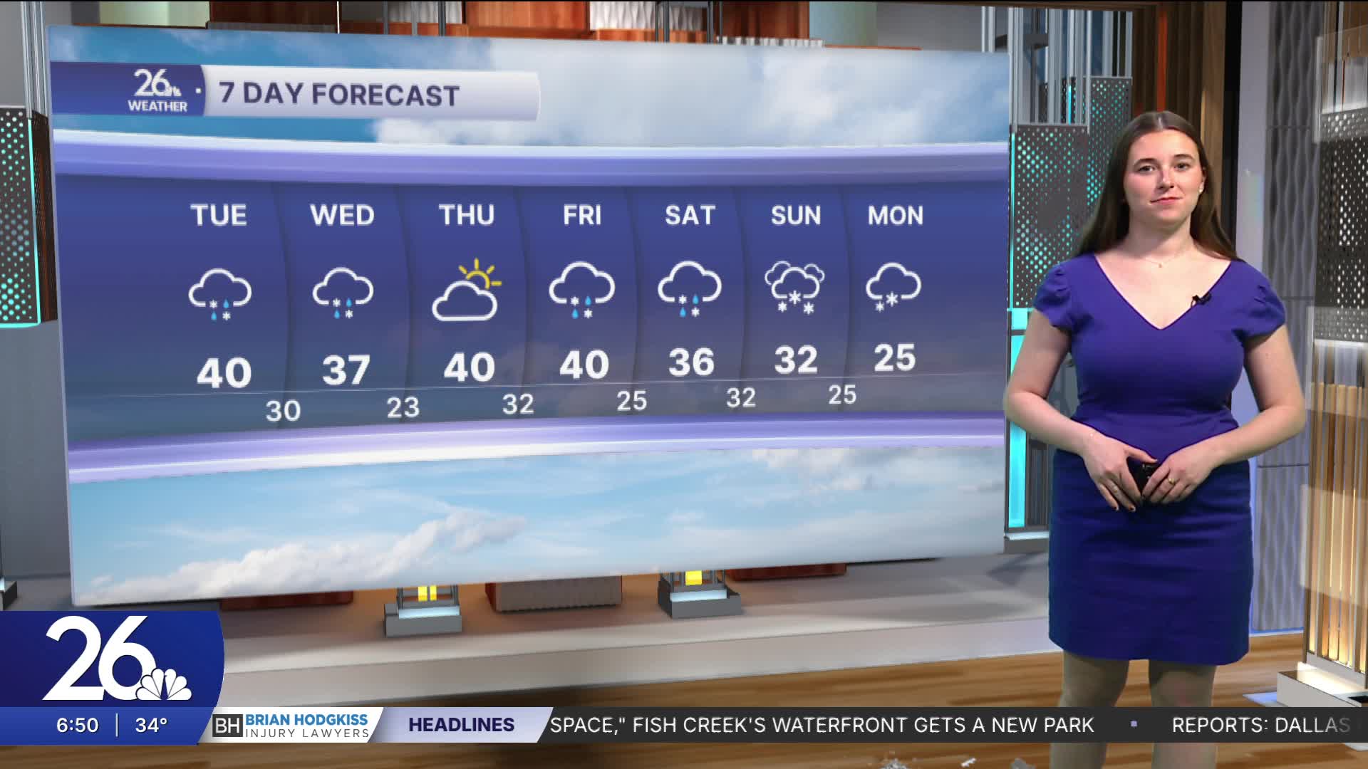


After temperatures in the 60s and 70s set many new record highs yesterday, changes are already here. Northeast winds have been gusting near 25 miles per hour, bringing in colder air. High temperatures today will be 20–30 degrees cooler than yesterday, with highs in the low to mid-40s.
Snow will fall in our northernmost counties today into tomorrow, bringing moderate accumulations of around 3–5 inches. The rest of the area will see rain showers starting tonight, with a chance for freezing rain early tomorrow. As temperatures drop tomorrow, precipitation will transition to snow.
A similar system will affect the area Thursday into Friday, and there is potential for significant snow this weekend.
