

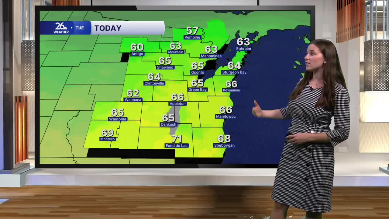


The workweek started feeling more like summer, with yesterday marking the third consecutive day of highs reaching 80 degrees. Green Bay even tied its record high of 82 degrees. But that summer-like warmth was short-lived, and fall is making a quick comeback today.
A cold front moved through the area overnight, bringing showers and a few thunderstorms. Winds have shifted to the north behind the front, ushering in cooler air and sending temperatures back toward more typical October levels.
Breezy north winds will keep highs in the mid to upper 60s today. While that’s a noticeable drop from yesterday, temperatures will still run above average. Early morning fog will gradually lift after sunrise, leaving us with a mix of sun and clouds throughout the day. Cloud cover may be more stubborn across our northern counties.
Even cooler weather arrives Wednesday, with a mix of sun and clouds and highs near 60 degrees.
Another system moves through Thursday, bringing showers beginning in the afternoon and continuing into Thursday night. Behind that system, winds will pick up and temperatures will drop again Friday, with highs only reaching the low to mid-50s.
Dry weather returns for the weekend, but it will stay chilly. A widespread freeze is possible Saturday morning, so be sure to keep an eye on temperatures if you have sensitive plants or other outdoor items to protect.
Temperatures will gradually rebound early next week, with highs climbing back into the 60s.
