



Yesterday was the last day of meteorological summer, and our temperatures definitely felt summer-like. Highs across the area reached the upper 80s, with some locations even hitting 90 degrees. Not only was it hot, but it was also very humid, giving the last day of August a mid-summer feel.
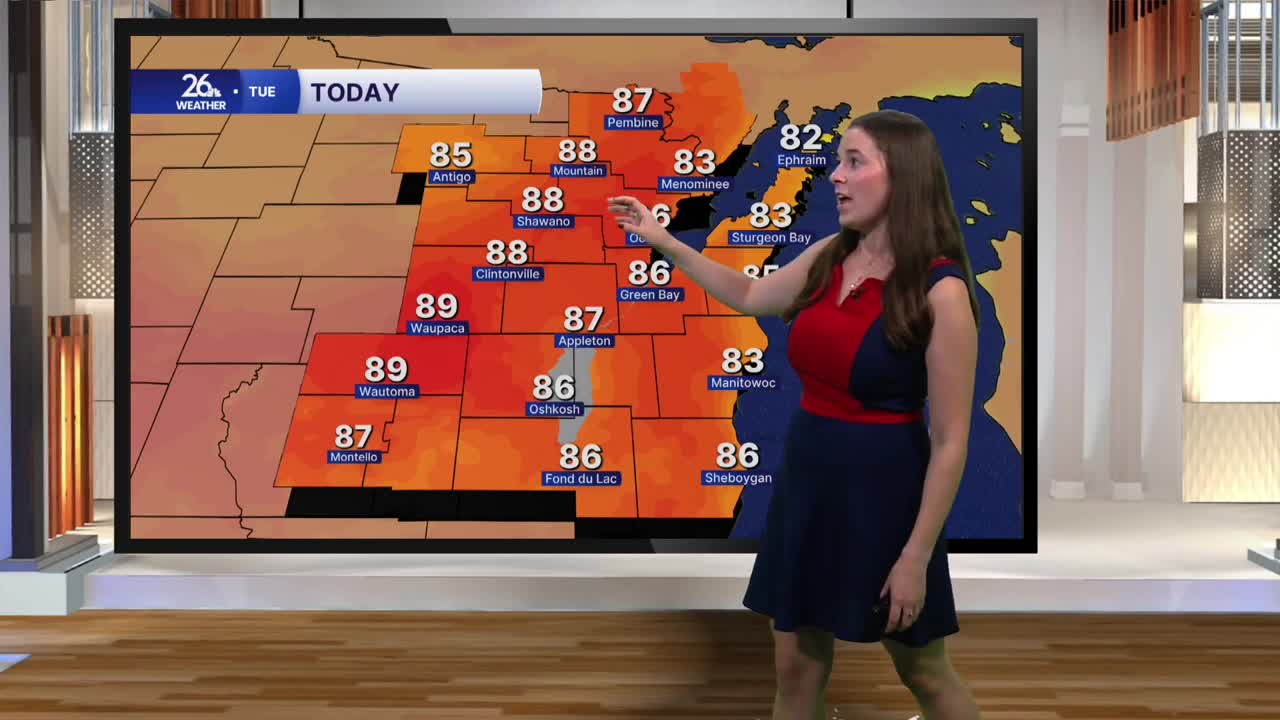
As we head into September, summer-like weather is sticking around. High temperatures today will climb back into the mid to upper 80s, with dew points in the low 70s, making for a very humid day. The combination of heat and humidity will push heat index values, or “feels-like” temperatures, into the mid to upper 90s.
That high humidity is also leading to areas of early-morning fog. Many counties are under dense fog advisories to start Tuesday. As we move through the morning, the fog will gradually lift, leaving us with a mix of sun and clouds for the rest of the day.
Overnight, showers and a few thunderstorms will move through northeast Wisconsin. A few of these storms could become strong, with the potential for hail and damaging winds. Showers and storms will taper off Wednesday morning.
High temperatures will drop into the low 80s for the rest of the week, but humidity will remain elevated.
Shower and storm chances will continue into the weekend, keeping the unsettled pattern in place as we head into the first weekend of September.
