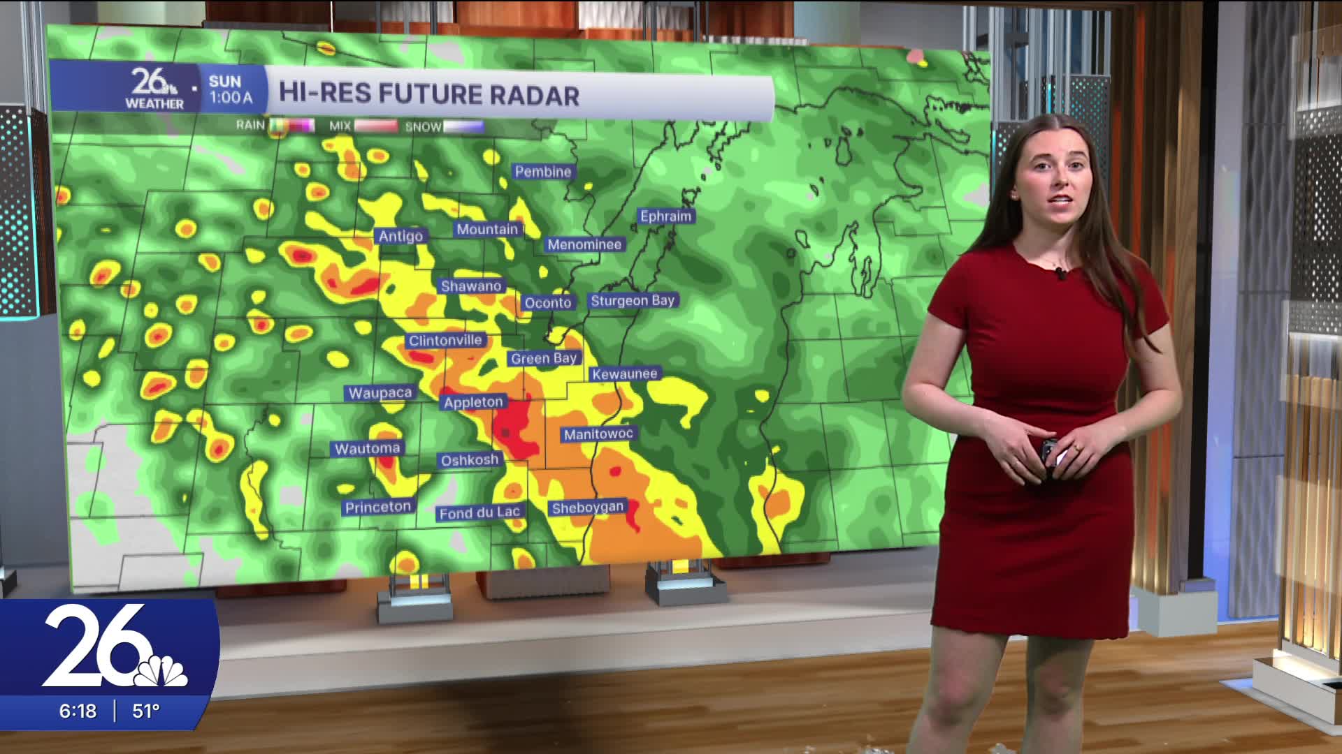


Tonight marks the beginning of a more active weather pattern. Rain will develop this evening and continue into tomorrow morning, with a chance of a few thunderstorms that could bring heavy downpours and gusty winds.
Rain lingers into Sunday morning before conditions begin to quiet down. High temperatures Sunday will reach the upper 60s. Warmer air arrives Monday, with highs climbing into the mid-70s. The day will start with partly cloudy skies, but by Monday evening, showers and thunderstorms are expected to redevelop. Some of these storms could become severe.
Another round of potentially severe thunderstorms is possible on Tuesday.
Over the next several days, multiple rounds of rain are expected, increasing the risk of flooding. Be sure to monitor water levels and stay alert for updates.
Temperatures throughout this period will remain above average, generally in the 60s and 70s.
