

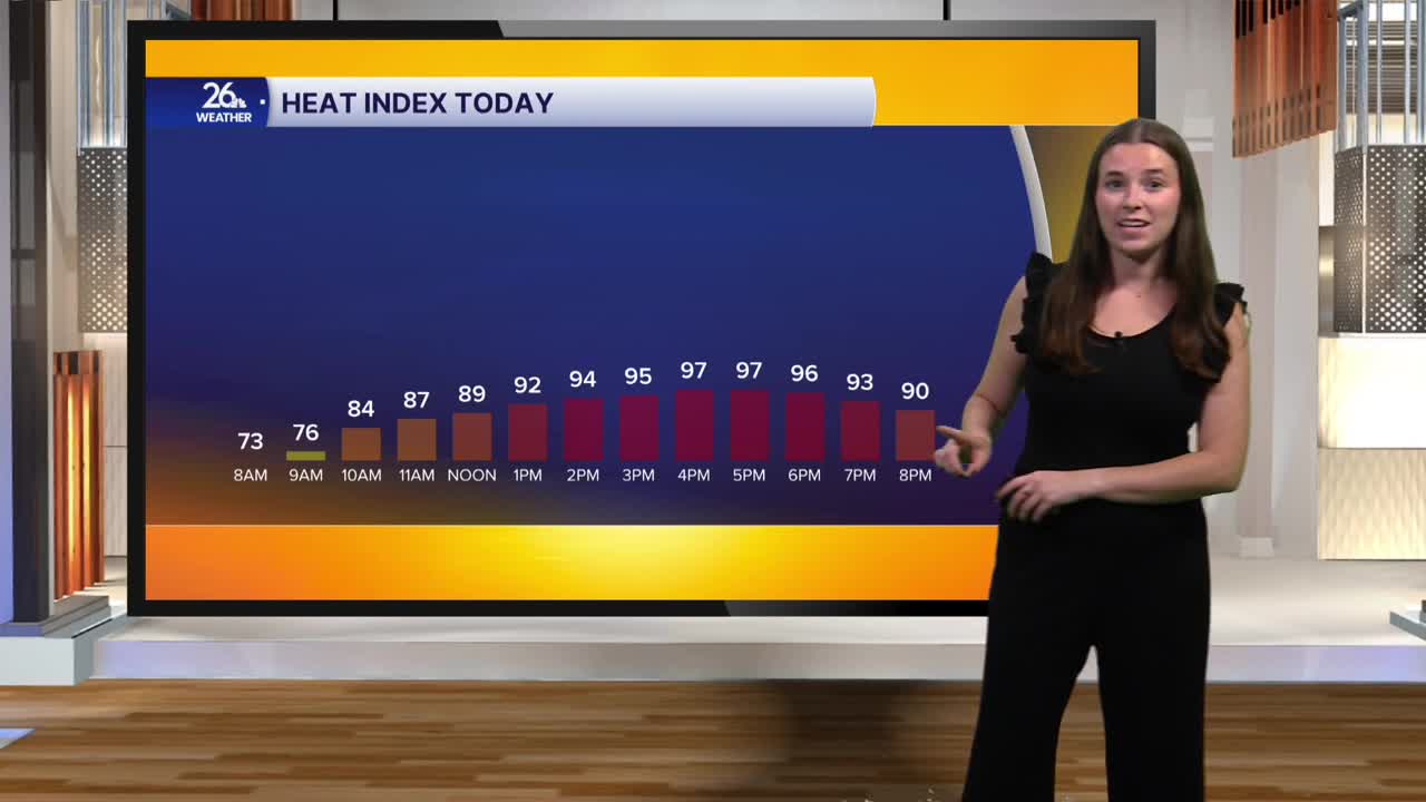


Today is the last day of August, with September 1 marking the start of meteorological fall, but summer is far from over. We are kicking off a warm and humid week. High temperatures this afternoon will climb into the upper 80s, with the potential to hit 90 in some places. Dew points will be in the upper 60s to low 70s. The combination of heat and humidity means our heat index, or “feels like” temperatures, will be in the upper 90s at times this afternoon. Be careful in today’s heat. Tomorrow will be a few degrees cooler, but it will still be a warm and very humid day. After Tuesday, temperatures drop into the low 80s for the remainder of the workweek, although humidity will remain high.
After a couple of morning showers, we will dry out in time for the morning commute. Skies will be a mix of sun and clouds for most of Monday. There is a Level 1/5 risk for severe thunderstorms. If the factors come together, thunderstorms may develop this afternoon and into this evening. If storms do develop, any storm has the potential to become strong to severe. The main hazards would be damaging winds, hail, and heavy downpours.
Most of Tuesday should be dry, however, there is a chance for some isolated evening showers or storms. As heat and humidity persist, we will continue to see storm and shower chances throughout the week
