



Today brings our next round of rain and thunderstorms. Rain and a few thunderstorms are moving through the north this morning, followed by a brief lull before another round develops later today.
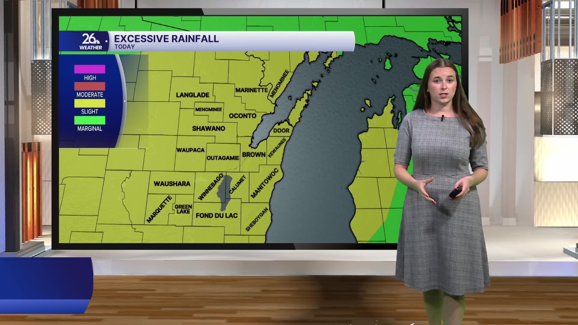
By mid-afternoon, thunderstorms will begin to form to our west and move across northeast Wisconsin through the afternoon and evening. A few storms could become strong to severe. Damaging wind gusts are the primary threat, but small hail and an isolated tornado cannot be ruled out. Heavy rainfall is also a concern. If multiple rounds of storms track over the same areas or an area experiences heavy downpours, localized flash flooding could develop.
Showers will linger overnight and into Thursday before drier weather returns to wrap up the workweek and continues into the weekend.
High temperatures today will climb into the 80s ahead of an approaching cold front. As that front moves through, cooler air will settle in for Thursday, with highs in the upper 70s. Seasonable temperatures continue Friday and Saturday before warmer weather returns late in the weekend. Hot and humid conditions are expected to make a comeback by the start of next week.
