

Dense fog advisories are in effect this morning as dew points surge. With dew points and temperatures in the mid- to upper 60s, there is plenty of moisture in the atmosphere. Throughout the day, dew points will climb into the 70s, creating very humid conditions, while highs reach the 80s. Just how warm we get depends on storm timing and cloud cover, but regardless, it will be warm and humid.
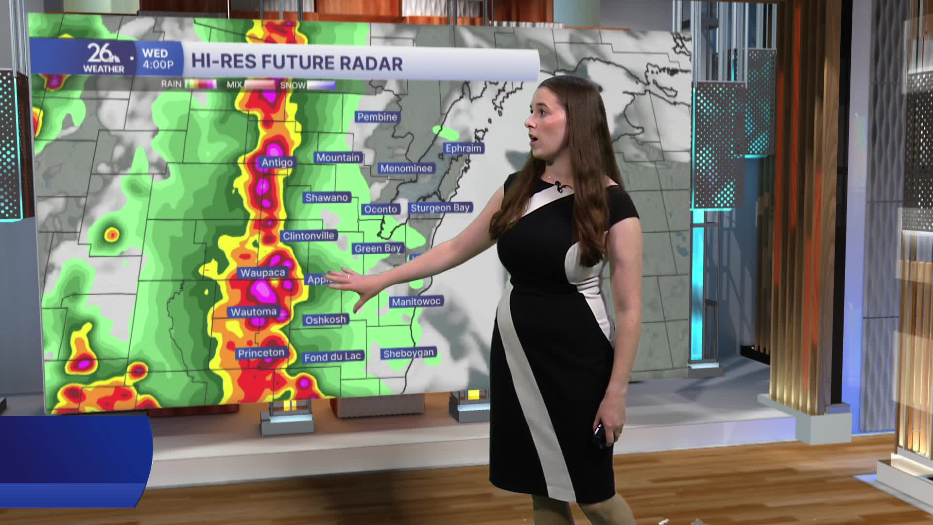
This morning, a line of storms and showers will pass through. A few of these storms could be strong, but the main severe weather threat will arrive this afternoon and evening. A break in the action during the late morning and early afternoon will allow the atmosphere to recharge as dew points rise and temperatures warm. By mid-afternoon, storms will develop to our west before eventually pushing into northeast Wisconsin. This line of storms will bring a risk of damaging winds, large hail, and an isolated tornado through the evening.
There is another risk for severe weather Thursday afternoon. All hazards are possible tomorrow as well. With multiple rounds of storms capable of producing heavy rainfall, flooding will also become a concern over the next two days. Conditions will remain warm and humid on Thursday.
