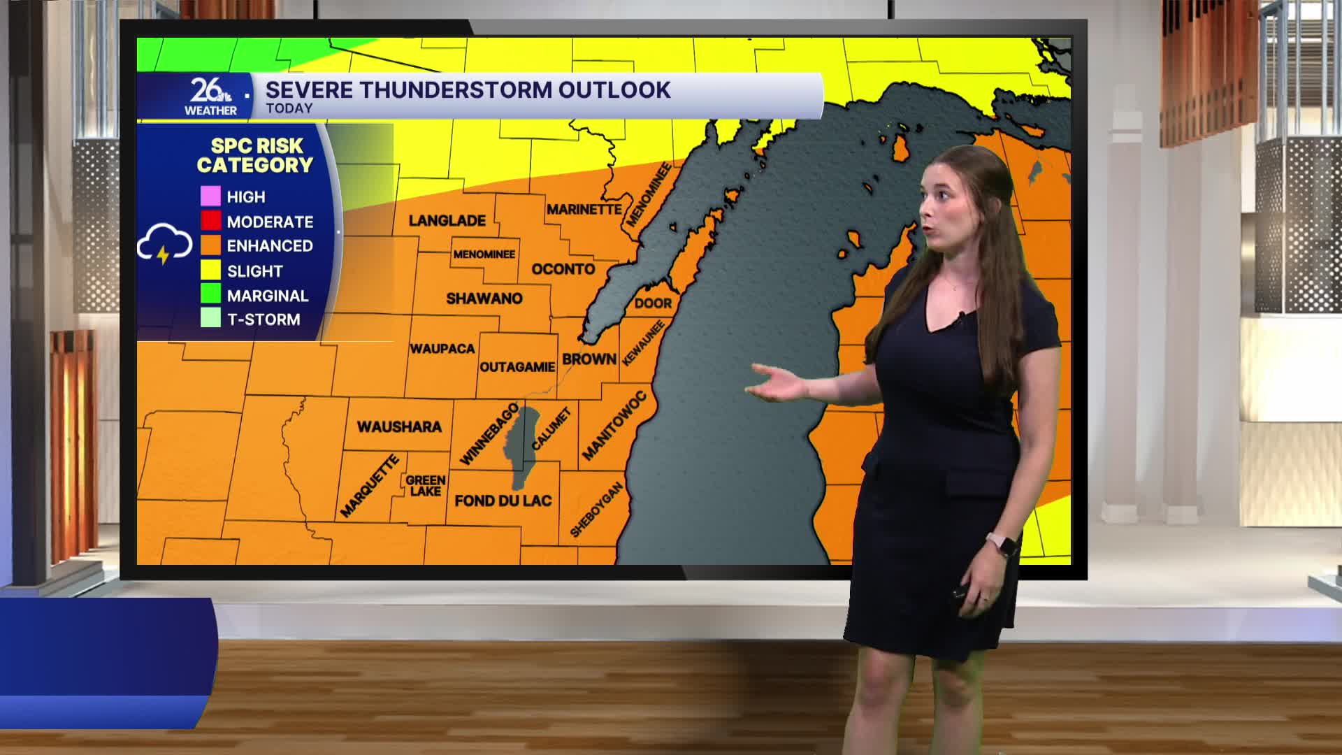


After an already active day of weather, another round of strong to severe thunderstorms is expected tonight. Northeast Wisconsin is under a Level 3 of 5 risk for severe weather from this evening into the overnight hours.
Storms will be capable of producing damaging winds, large hail, torrential rainfall, and an isolated tornado cannot be ruled out. The heavy rain could also lead to flash flooding, which is why much of the area is under a Flood Watch until tomorrow morning. Storms are expected to develop this evening and continue through the overnight hours. Be sure to have multiple ways to receive weather alerts.
Heat Advisories remain in effect until 8 p.m. tonight, but the warm and humid pattern continues through the rest of the workweek. High temperatures in the upper 80s to around 90 degrees, combined with high humidity, will keep heat index values elevated. Some relief arrives for the holiday weekend. While it will still be warm and humid on the Fourth of July, conditions should be noticeably more comfortable than they were earlier this week.
Another round of severe thunderstorms is possible Thursday, although the exact timing and intensity will depend on how tonight's storms evolve. Damaging winds, large hail, and heavy rainfall will again be the primary threats. Scattered thunderstorms remain possible Friday, but they are expected to be more isolated.
