

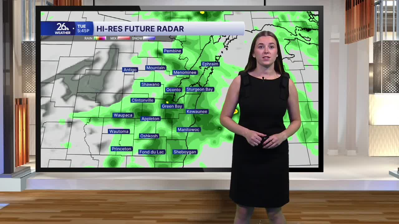


Rain chances return this morning, with showers developing throughout the morning and continuing on and off through the rest of Tuesday. A couple of isolated strong thunderstorms will be possible this evening. Any stronger storms could produce small hail, gusty winds, and pockets of heavy rainfall.
Clouds and rain will keep temperatures cooler than yesterday, with highs topping out in the mid-70s. The cloud cover should also help limit the overall severe weather threat. It will be a breezy day as well, with winds gusting near 20 mile per hour at times.
Rain chances continue overnight and into early Wednesday as a cold front moves through. Scattered showers and a couple of thunderstorms will be possible before the rain moves out Wednesday morning. Behind the front, clouds will gradually decrease throughout the day, while winds pick up. Gusts could approach 30 miles per hour.
Despite the passing cold front, temperatures will still climb back near 80 degrees Wednesday afternoon. Wednesday starts muggy, but humidity drops throughout the day. The cooler air arrives Thursday, with temperatures settling back to more seasonable levels through the day.
High pressure takes over Thursday and much of Friday, bringing plenty of sunshine and quieter weather. Our next chance for rain arrives Friday night into Saturday morning as another cold front moves through. This system could usher in a cooler pattern to start next week.
