

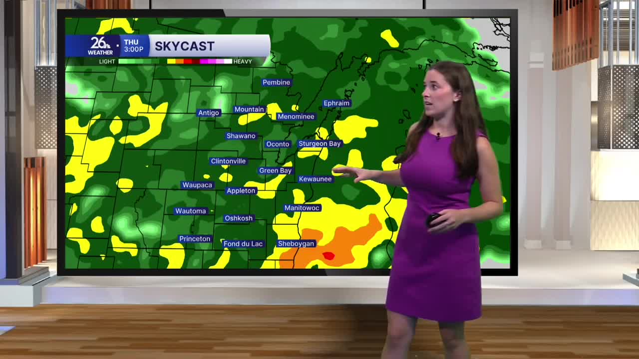


Thursday starts cloudy with temperatures in the low 50s, and we won’t warm up much throughout the day. Highs will only reach the mid-50s as clouds, rain and northwest winds keep temperatures slightly below average for mid-October.
Rain moves into the area this afternoon, bringing widespread showers through the evening. Rain becomes more scattered overnight, but a few showers will linger through the first half of Friday. By the time the system moves out, rainfall totals will range from a half inch to around an inch across the area.
Winds will also pick up as the system moves through. Conditions turn breezy tonight, with stronger winds developing Friday morning. By Friday afternoon, gusts could approach 40 miles per hour. Gusty northerly winds will bring in even colder air, keeping Friday’s highs in the low 50s, with some locations struggling to climb out of the 40s.
Rain and clouds clear Friday evening, and winds calm down. With skies clearing and cooler air settling in, temperatures will drop quickly overnight. By Saturday morning, much of the area could fall below freezing, bringing our first widespread freeze of the season and signaling the end of the growing season for many locations.
The weather improves just in time for the weekend. Sunshine returns Saturday with highs in the mid-50s, followed by even warmer temperatures Sunday. It will remain breezy at times, but the overall trend is toward brighter and more comfortable conditions.
The warming trend continues into next week, with highs climbing into the mid-60s early in the week and upper 60s by the middle of the workweek.
After the rain Thursday and Friday, a stretch of dry weather is expected to last through at least the middle of next week.
