

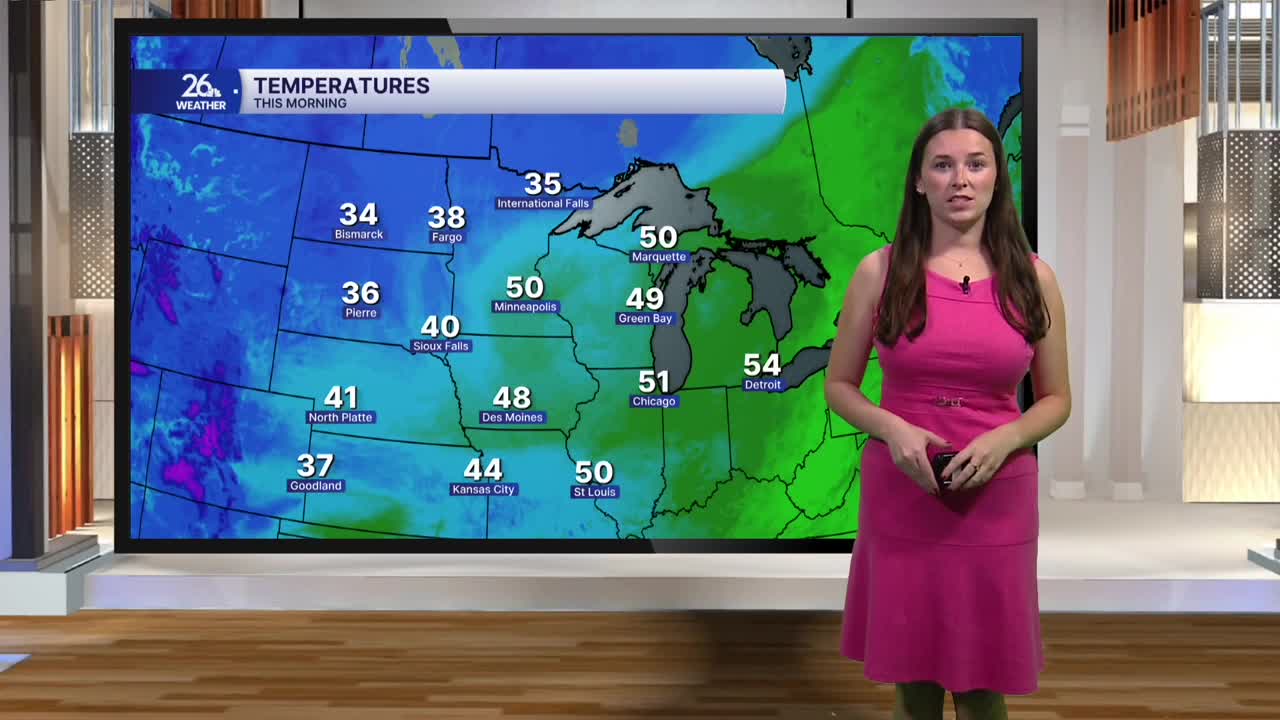


After a warm start to the month of November, cooler weather is on the way. A cold front is moving through the area this morning, bringing scattered showers and widespread cloud cover. Temperatures are starting in the low 50s and will hold fairly steady through the first half of the day. However, cooler air will begin filtering in behind the front, sending temperatures down through the 40s by mid-afternoon.
Winds will also shift throughout the day. Breezy west winds this morning will turn out of the north behind the front, with gusts approaching 30 mph this afternoon.
Once the morning showers move out, the rest of the day will remain mostly cloudy but largely dry. A few snow flurries are possible later today near the Upper Peninsula border. Cloud cover will stick around overnight as temperatures fall into the 30s.
Cooler conditions continue tomorrow, with temperatures dipping slightly below average. Highs will reach the mid-40s, accompanied by another breezy day. Skies will start out mostly cloudy, but we could see some sunshine return toward the end of the day.
By Saturday, temperatures will return closer to seasonal averages. Looking ahead to next week, above-average temperatures make a comeback. Highs will climb into the 50s, with some areas potentially reaching 60 degrees on Monday. Conditions will also remain dry, with mostly sunny skies returning. After a brief cooldown, we'll be looking at a pleasant stretch of November weather.
