

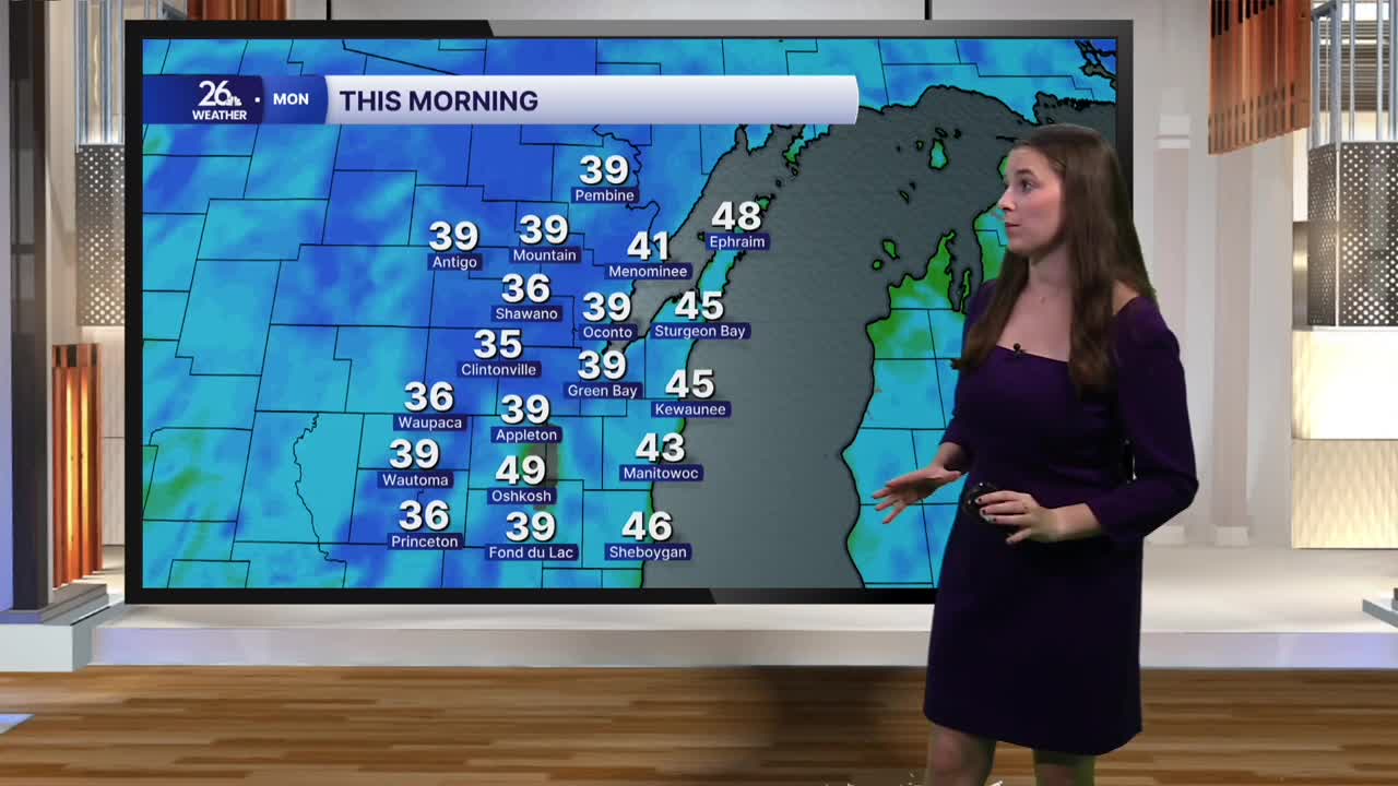


After several weeks of more summer-like temperatures, a much cooler start greets us this morning. Temperatures have fallen into the upper 30s to low 40s across much of the area, with our northern counties under frost advisories. Clear skies, low humidity and calm winds allowed temperatures to drop quickly overnight. However, those quiet conditions won’t last. Winds will pick up through the day, with gusts approaching 30 miles per hour by this afternoon. Breezy to windy conditions will continue tonight and into Tuesday. Afternoon highs will reach the upper 60s to around 70 degrees.
Clouds will also steadily increase today. After a mostly clear start, skies will become increasingly cloudy this afternoon, with rain arriving in northeast Wisconsin by this evening. Rain will continue through the overnight hours, with some pockets of heavy rainfall possible. A few thunderstorms could develop within the system, but severe weather is not expected.
The rain will taper off Tuesday morning, although clouds will linger for much of the day. Temperatures will rebound into the mid-70s Tuesday.
Beyond Tuesday, highs will generally be on either side of 70 degrees through the next seven days, while overnight lows will mostly remain in the mid-50s.
The middle of the week looks partly to mostly cloudy, with another chance for rain Wednesday night into Thursday. After a brief break, rain chances increase again late Friday and into Saturday.
