

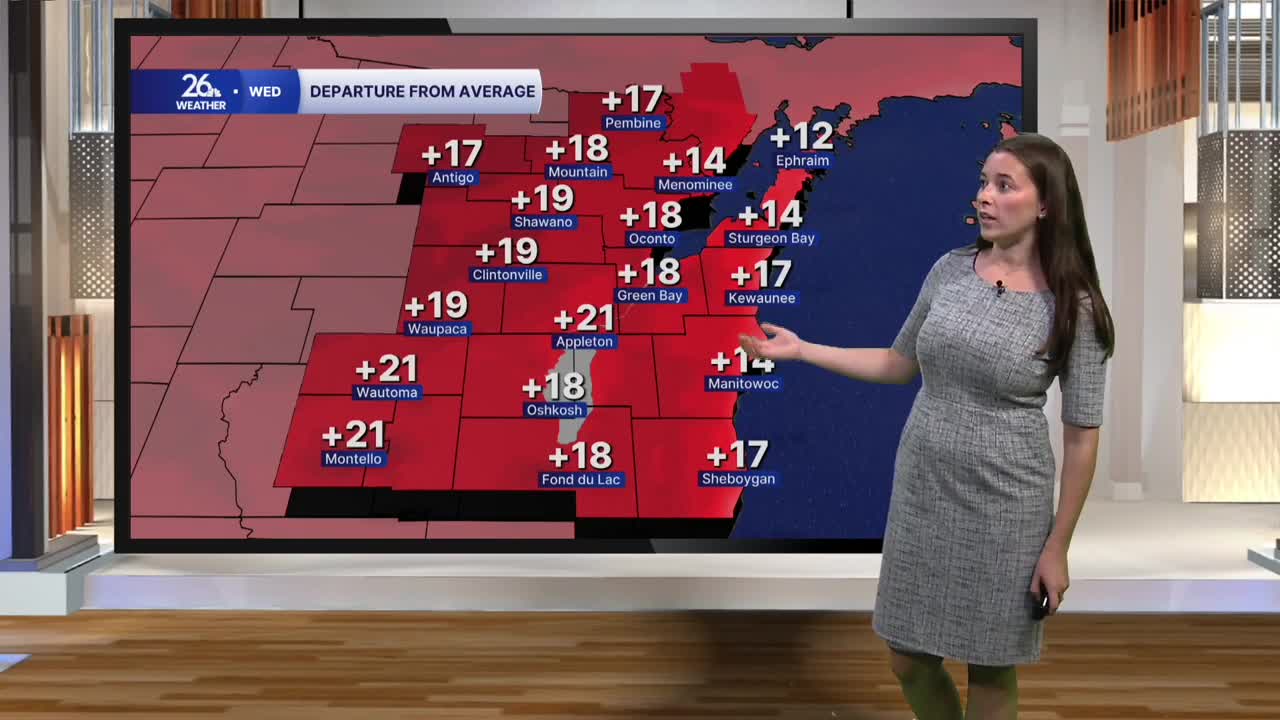


Today is going to feel more like the middle of September rather than one of the last days of October. Winds will be breezy and out of the southwest, helping to bring in warmer air. Highs will reach the low 70s, which is about 20 degrees above average. Typically, our highs are in the low 50s. Today's warmth could potentially be record-breaking. The record high for October 28 in Green Bay is 70 degrees, set in 1946. Sunshine will also add to the warm feel. Skies will be mostly sunny today, making it an awesome day to get outside.
Overnight, a cold front will pass through. Along this front, we will see some showers and a couple of thunderstorms. The risk of stronger storms will remain isolated to northern Wisconsin, but we could hear a few rumbles of thunder at times. This system will pass quickly, and sunshine will return as we head into Thursday. Behind the front, it will remain windy, but winds will shift to the northwest. These winds will usher in cooler air, dropping highs back into the lower half of the 60s, which is still above average for late October.
Skies will be sunny for tailgating ahead of Thursday's Packers-Panthers game at Lambeau. Clear skies will stick around throughout the game as temperatures begin to drop. It will be around 54 degrees at kickoff, falling into the upper 40s by the end of the game. Be sure to bring an extra layer if you're heading to the game.
Sunshine will stick around Friday, but cloud cover will increase again this weekend. We will also see a chance for scattered showers throughout Saturday and Sunday. Halloween should not be a washout but keep an eye on the forecast as you get ready for your Halloween plans.
Highs will remain around 60 degrees through the end of the workweek and into the weekend.
