

Heavy rain has been moving through the area since last night. Because of this, a flood watch is in effect for much of northeast Wisconsin until 10 a.m. Throughout the morning, we will start to see the rain decrease, and by early afternoon, some sunshine could begin to break through. This will give us a brief break before our next chance for rain.
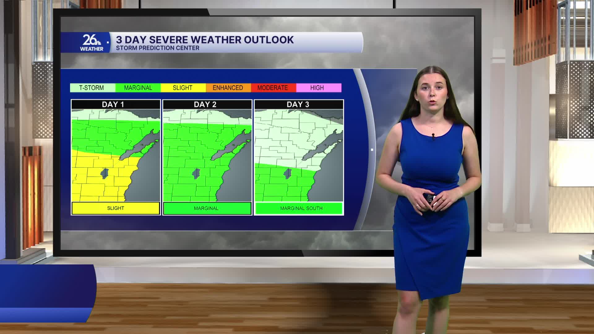
Late this afternoon into this evening, showers and thunderstorms will move through northeast Wisconsin once again. A few of these storms could become strong to severe, bringing a risk of damaging winds, hail, and heavy rain. Chances for storms continue into the weekend, with the potential for strong to severe storms on Friday and Saturday.
Warm and muggy conditions will last through the workweek, but as we head into the holiday weekend, there is some relief in sight. Temperatures this weekend will return closer to average, in the low 80s, and dew points will drop as well.
