

Yesterday was a beautiful day, with many locations reaching the mid to upper 50s. Today will be cooler, with highs in the mid-40s, but temperatures will still run 15–20 degrees above average. Skies will remain cloudy for most of the day.
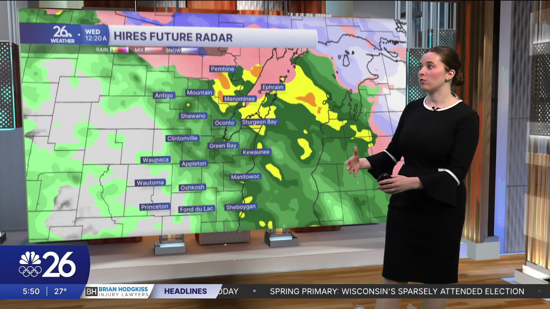
We enter a more active weather pattern as the sun sets tonight. Our northernmost counties are under a Winter Weather Advisory overnight. Rain will develop overnight, with a wintry mix across the Northwoods and snow near the Upper Michigan border. Freezing rain, along with rain and snow farther north, will create slick roads for the Wednesday morning commute. With this system, most will be seeing rain.
Temperatures will stay above average through the week until a second system moves through, bringing rain and snow Thursday into Friday. After that, temperatures will cool closer to average.
