



November is getting off to an unusually warm start. Yesterday, temperatures climbed into the upper 60s across much of the area, running nearly 20 degrees above average. Typically, highs this time of year are around 50 degrees.
Cloud cover increased overnight, helping temperatures stay mild heading into the workweek. This morning, readings are starting in the low 50s, temperatures that would typically be closer to our afternoon highs for early November.
It will be a windy day today, with gusty south winds helping temperatures climb into the low to mid-60s this afternoon.
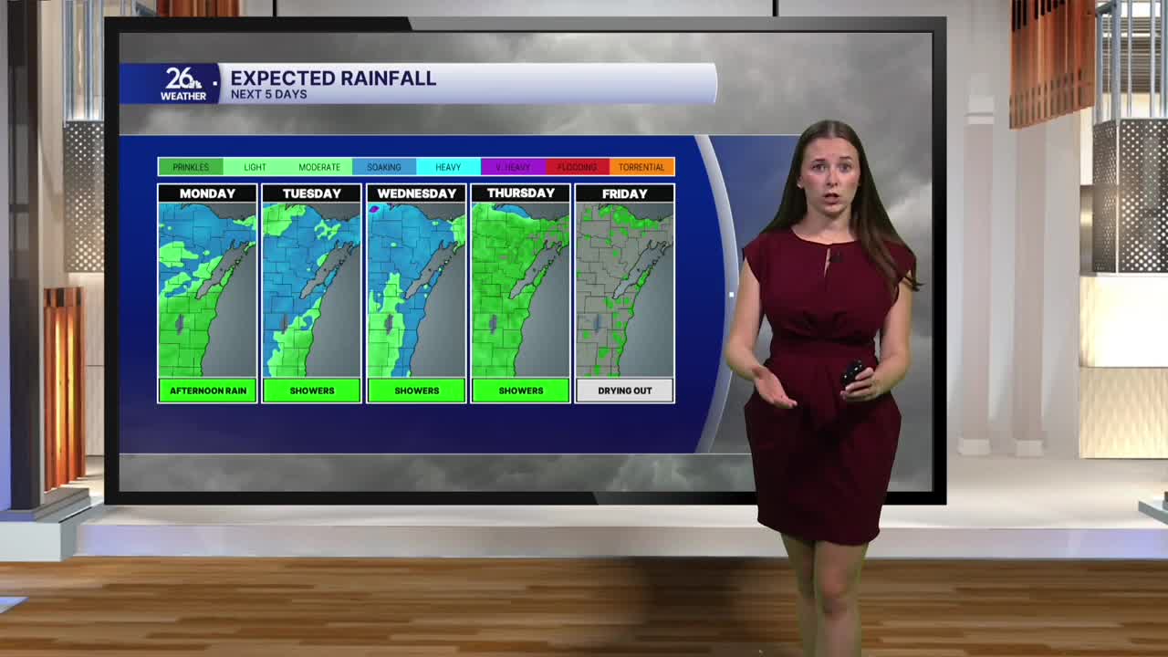
Clouds will stick around Monday, with rain moving into the area by the afternoon. Periods of rain will continue through Monday night and into Tuesday. We could even hear a few rumbles of thunder Tuesday as scattered showers move through.
Rain chances will stick around through Thursday, with rainfall totals adding up to around 1 to 2 inches by the end of the week.
Along with the rain, it will be a breezy start to the week. Wind gusts could approach 30 mph Monday and Tuesday, with breezy conditions lingering into Wednesday.
South winds will keep temperatures well above average through the first half of the week. Highs Tuesday will climb into the upper 60s before easing back into the low 60s Wednesday.
By the end of the week, cooler air will move in, bringing temperatures back closer to seasonal averages. Highs will settle into the lower 50s, making for a more typical November feel.
