



After an amazing and comfortable start to the week, a breezy southwest wind will bring a return to summer-like warmth today.
We’ll start Tuesday with temperatures in the mid-50s, but they will quickly climb, with afternoon highs reaching around 80 degrees. Dew points will also rise into the 60s, making it feel noticeably more humid than Monday. Skies will feature a mix of sun and clouds, and while a stray shower can’t be ruled out, especially north of the area, most of us will stay dry through the day.
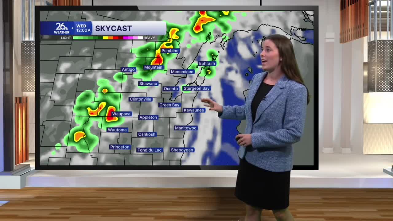
Rain chances increase Tuesday night. A cold front will sweep across northeast Wisconsin overnight, bringing a line of showers and thunderstorms with it. Severe weather is not expected, but a few storms could become strong, with gusty winds and locally heavier rain possible. The line should move through quickly, clearing the area before sunrise Wednesday.
Behind the front, breezy winds will stick around. Gusts could approach 20 miles per hour Tuesday night and Wednesday. Wednesday will begin with a mix of sun and clouds, followed by the chance for a few spotty showers during the afternoon.
By Thursday, quieter weather returns, with dry conditions expected Thursday and Friday. Rain chances increase again heading into the weekend.
Overall, temperatures will remain seasonable through the next week, with most afternoons topping out in the upper 70s to low 80s.
