

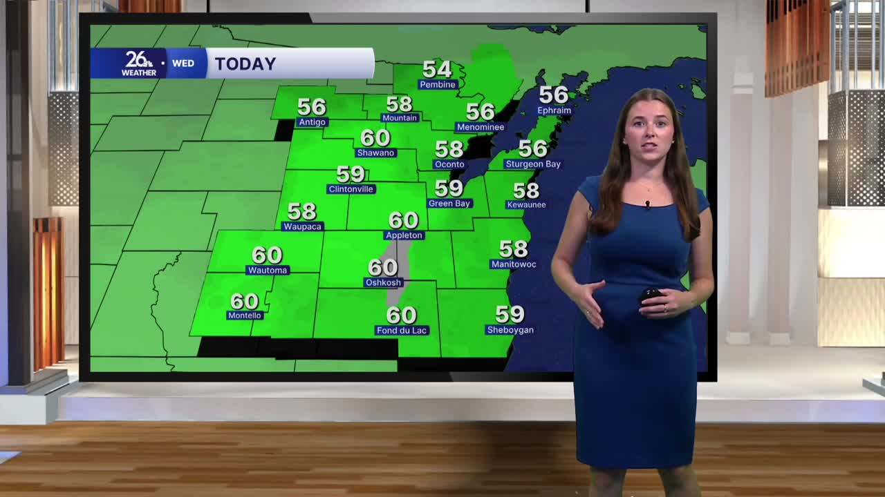


Yesterday kicked off our cool down. After highs in the 80s on Monday, we returned to the upper 60s yesterday. That cooling trend will continue for the rest of the workweek as winds out of the north continue to bring in cooler air. Today will be mostly cloudy, although we could see a few pockets of sun this afternoon. It will be a bit breezy and seasonable, with highs in the upper 50s, exactly what we would expect for mid-October.
Thursday begins cloudy, with morning temperatures in the upper half of the 40s. Temperatures will climb into the mid-50s for highs as clouds and rain move in. Rain begins Thursday afternoon and continues through Thursday night. Scattered showers will linger into the first half of Friday. We can expect around half an inch of rain for much of the area.
Temperatures will bottom out on Friday, with highs only climbing into the low 50s. That will make for a cool end to the workweek. Friday will also be windy, with gusts potentially approaching 40 miles per hour. By Saturday morning, temperatures could drop below freezing across much of the area.
Saturday starts a slow climb in temperatures, with highs reaching the mid-50s. By Sunday, temperatures will be back in the 60s. After Thursday and Friday's rain, we'll dry out for the weekend and into the start of next week.
