



Winds out of the southwest will be breezy today, with gusts reaching around 25 mph. These winds will be important for several reasons. First, they'll help push some of the wildfire smoke to the north, allowing for some thinning of the smoke across the area. Air Quality Alerts remain in effect until noon today. There is potential for additional rounds of smoke to move in during the middle of the week.
Southwest winds will also make Monday feel summer like. High temperatures will climb into the mid-80s, while dew points rise into the upper 60s to around 70 degrees. The combination will make for a warm and humid day, providing plenty of fuel for thunderstorms later today.
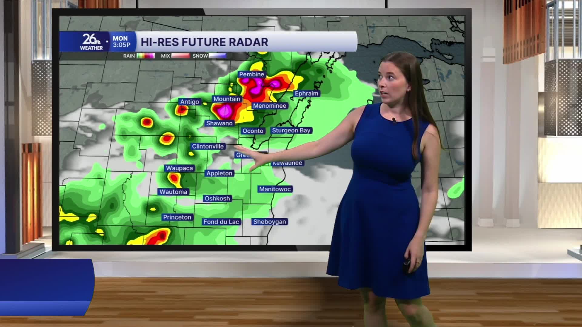
There could be a few showers this morning, but the main focus will be this afternoon and evening. After morning clouds, skies will partially clear, allowing sunshine to help temperatures climb. By mid-afternoon, thunderstorms will begin to develop as a cold front moves through. From mid-afternoon into the late evening, the area is under a level 3 out of 5 risk for severe thunderstorms. All severe weather hazards are possible, including large hail, damaging winds, and even tornadoes. Some storms could also produce pockets of very heavy rainfall, leading to localized flooding.
Behind the cold front, cooler and less humid air will return for the middle of the week. There may be a few stray showers on Tuesday, but drier and more comfortable weather returns for the rest of the workweek.
