
Friday comes with thunderstorm chances and highs in the low 80s. There is not a ton of confidence on when and where the storms will be. Stay weather aware with NBC 26 on air or online. We can expect heavy rain and gusty winds in some storms.
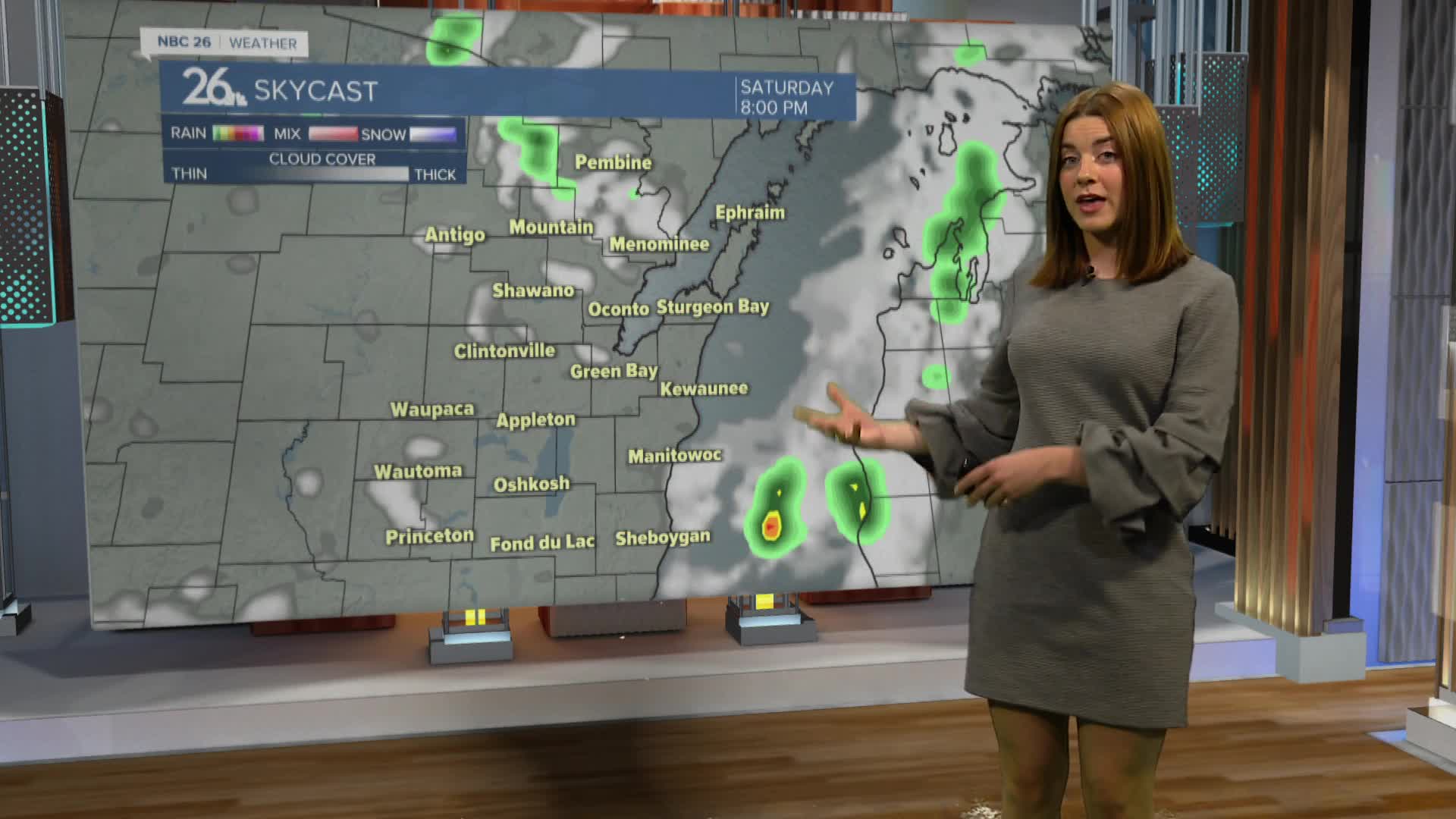
The better chance for some storms will be on Saturday evening. The storm prediction center has Northeast Wisconsin in a marginal risk category meaning some storms could become severe.
Sunday looks to be gorgeous! Lots sunshine, highs in the 80s and mild humidity.
Next week will be warmer with highs in the upper 80s. We will see plenty of sunshine a few thunderstorm chances.
We expect to see thunderstorms Wednesday night. This will bring cooler temperatures through the end of next week.
