

We are starting off Friday with dense fog. Dense fog advisories have been issued for most of northeast Wisconsin this morning. Visibility has been below one mile, so take extra time on the roads early today.
Throughout the morning, our first round of weather will move in. Rain will fall across the area for much of the morning before showers become more isolated this afternoon.
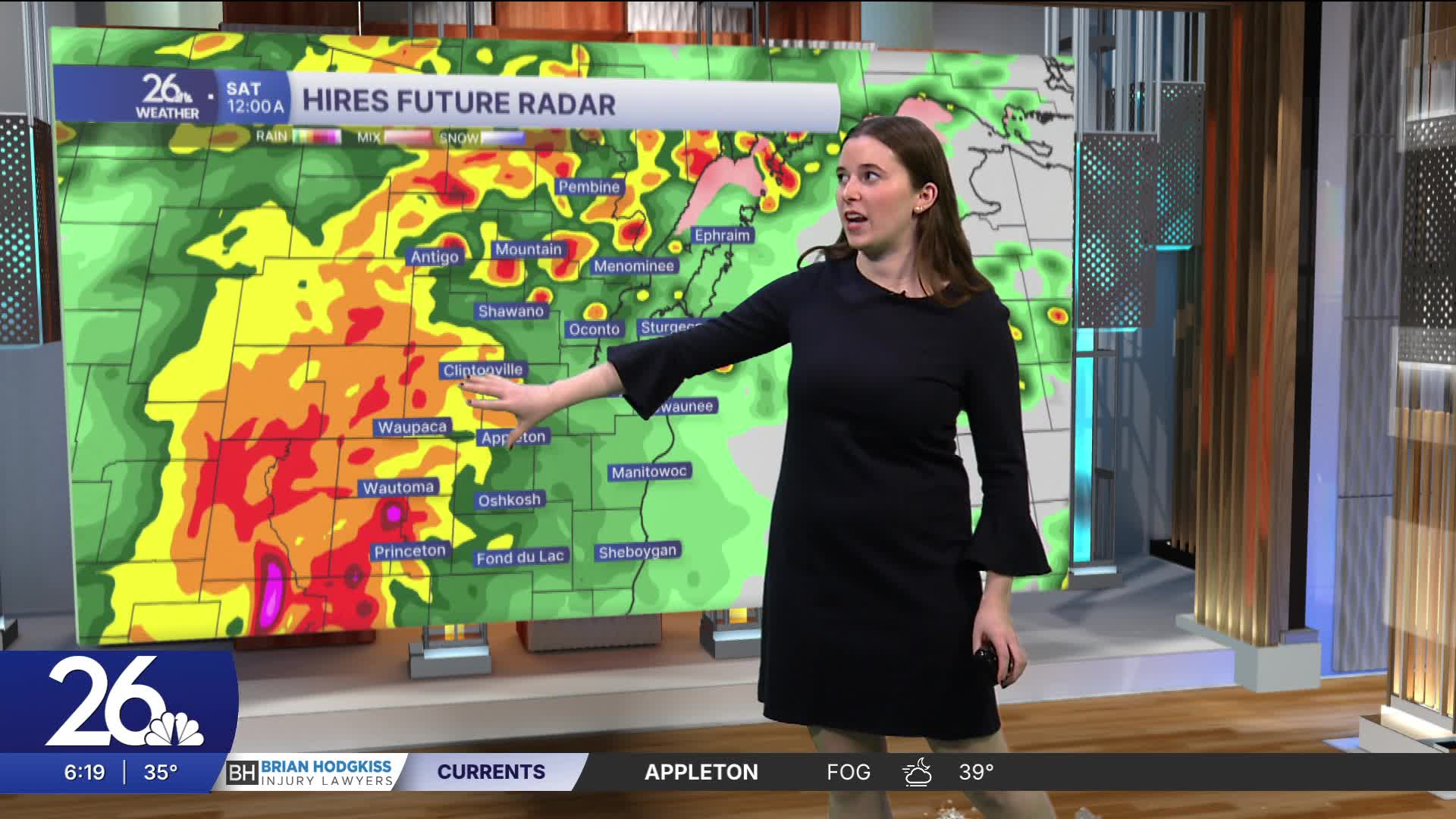
This evening is when the second round of weather moves through. This will bring heavy rain, thunderstorms, and a chance of severe weather. Most of northeast Wisconsin is under a Level 1 risk for severe weather. This means there is a chance for strong winds and hail. It is important to keep an eye on the weather today.
Tomorrow morning, rain moves out and clouds stick around for much of Saturday. Temperatures will reach the 60s early next week before more seasonable temperatures return in the middle of the week.
