

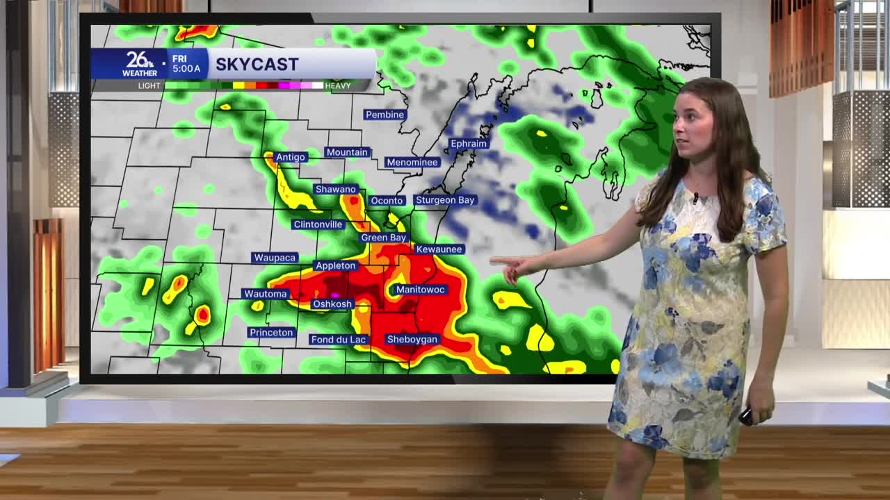


Overnight and into this morning, showers and thunderstorms have been moving across northeast Wisconsin, with a few storms turning severe overnight. Early this morning, we’re still tracking areas of thundershowers that are producing pockets of heavy rainfall. A few flood advisories have been issued throughout the morning due to this heavy rain. The rain will gradually push out through the morning, giving way to a mix of sun and clouds this afternoon. An isolated shower or thunderstorm can’t be ruled out this evening, but most areas should stay dry.
Temperatures will climb into the low 80s today, and high dew points will keep it feeling noticeably humid. That summer-like feel is going to stick around through the holiday weekend, with temperatures generally in the upper 70s to low 80s and humidity remaining elevated.
Despite the humidity, the holiday weekend is shaping up to be a nice one. Skies will be partly cloudy Saturday, with sunshine becoming more prevalent by later in the day. That stretch of dry and mostly sunny weather will continue through the remainder of the long weekend.
Our next chance for rain arrives Tuesday, but until then, enjoy the sunshine and summer-like temperatures for the holiday weekend.
