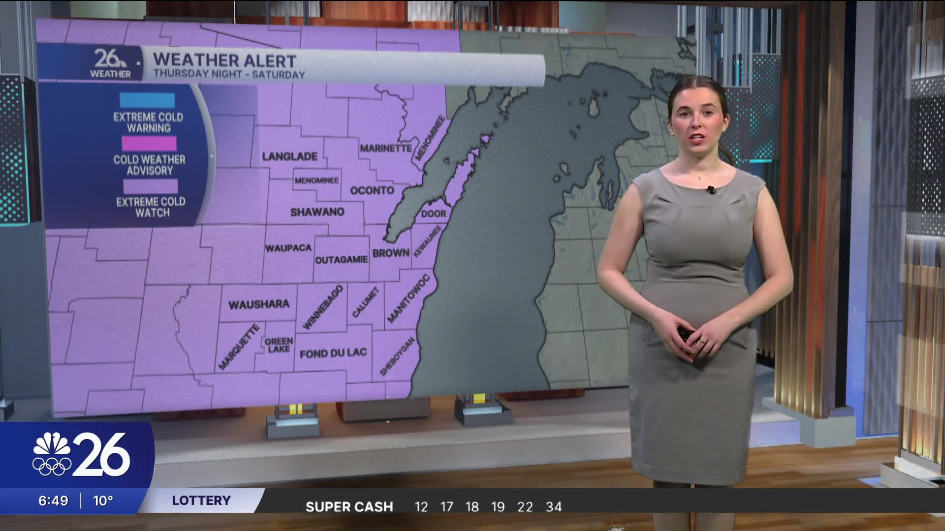


All of our counties are under Extreme Cold Watches from Thursday night through Saturday.
Today will bring milder temperatures before the cold moves in. Light snow will fall this morning and again this afternoon. High temperatures today will be around 20 degrees.
Overnight, temperatures will drop into the single digits, with subzero wind chills. Tomorrow will feature partly cloudy skies with a chance for a few light snow showers later in the day. Highs will be around 10 degrees.
Thursday night is when the very cold air begins to move in. By Friday morning, wind chills will fall into the -30s to -40s, with actual temperatures in the negative teens. Highs on Friday will only reach the negative single digits.
Saturday will also see high temperatures in the negative single digits, with wind chills ranging from the -20s to -30s.
Friday and Saturday will be sunny, but clear skies do not mean safe conditions. Temperatures and wind chills will be dangerous both days. Limit time outdoors, and when you do go outside, wear multiple layers to protect your skin. Frostbite and hypothermia are serious concerns in weather like this.
