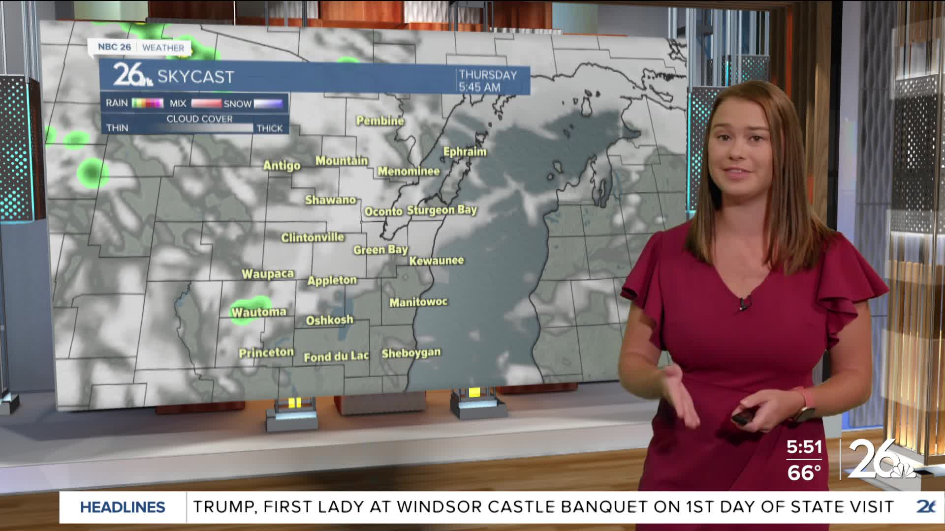
Cold front makes its way through NE WI today with a few hit or miss showers from time to time. Highs range from the upper 60s to low 70s north to upper 70s to low 80s south. Everyone will drop back into the low to mid 70s Friday through the weekend. While Friday is mostly dry, isolated showers roll in during the evening and will become more numerous on Saturday and Sunday. Some storms are possible as well.


Posted
