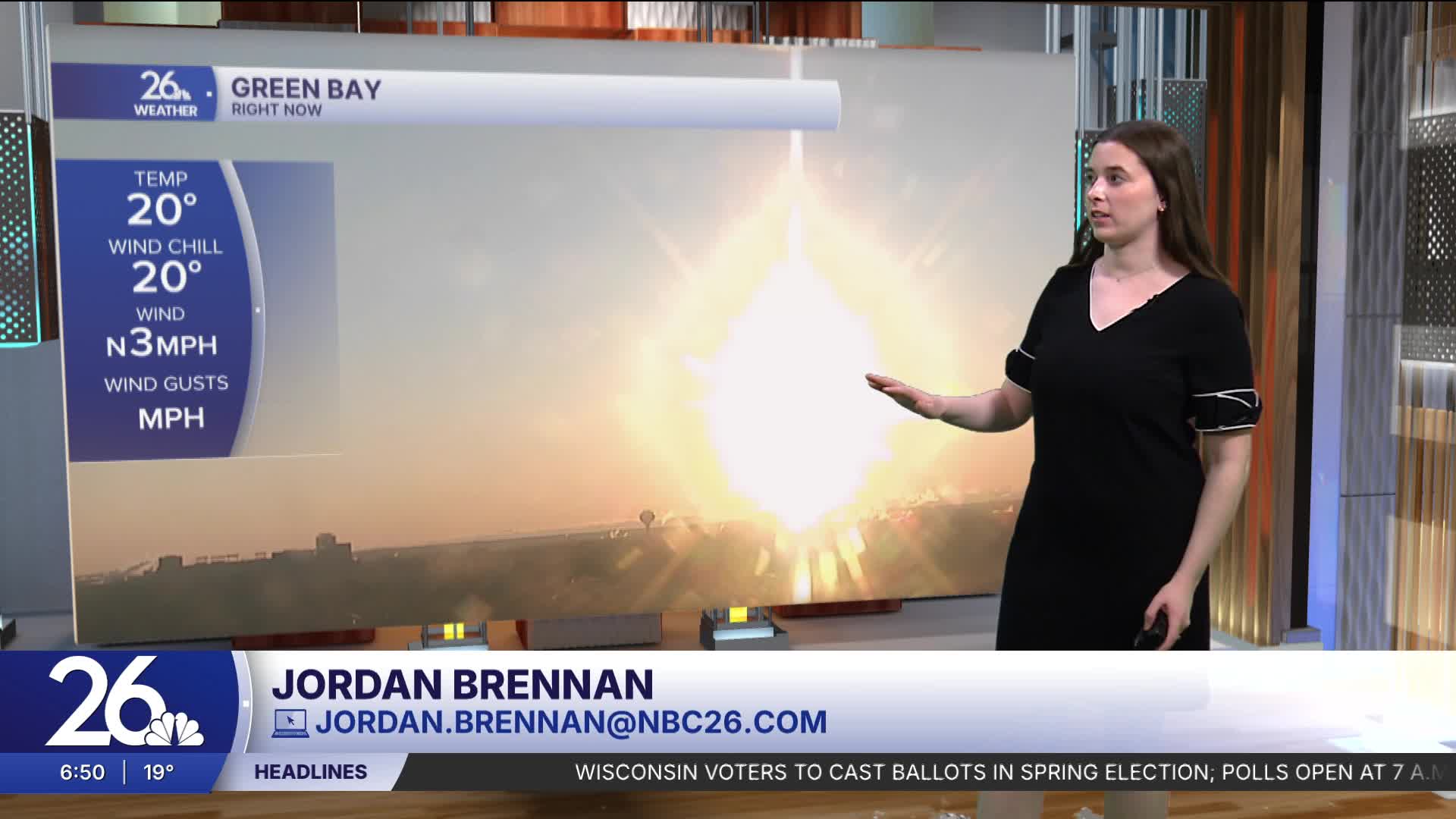


High pressure will bring clear skies but chilly weather today, with highs in the upper 30s to low 40s.
Overnight, high pressure moves out and unsettled weather moves in. Light snow develops overnight, then transitions into a wintry mix and eventually rain by mid-morning as temperatures warm. While amounts will be minimal, it could be enough to create slick roads for the morning commute, so be mindful.
Clouds will linger tomorrow afternoon, with another quick round of rain expected Wednesday night.
After that, conditions turn beautiful through Saturday afternoon, with plenty of blue skies and temperatures in the 50s and 60s.
More rain is expected Saturday night into Sunday. We’ll continue to monitor flood conditions, as many rivers are already at bankfull or in minor flood stage.
