



After a mild start to the week, a noticeable change in the weather pattern begins today. A line of showers is moving through this morning, so keep the umbrella handy as you head out the door. Temperatures start in the low 40s, with afternoon highs only reaching the low 50s. While that is still about 5 degrees above average, it will feel cooler compared to the mild weather we've enjoyed recently.
Cloud cover and breezy northwest winds will help keep temperatures in check throughout the day. Most of the rain will move through this morning, but clouds will stick around through the afternoon, with a few isolated showers still possible.
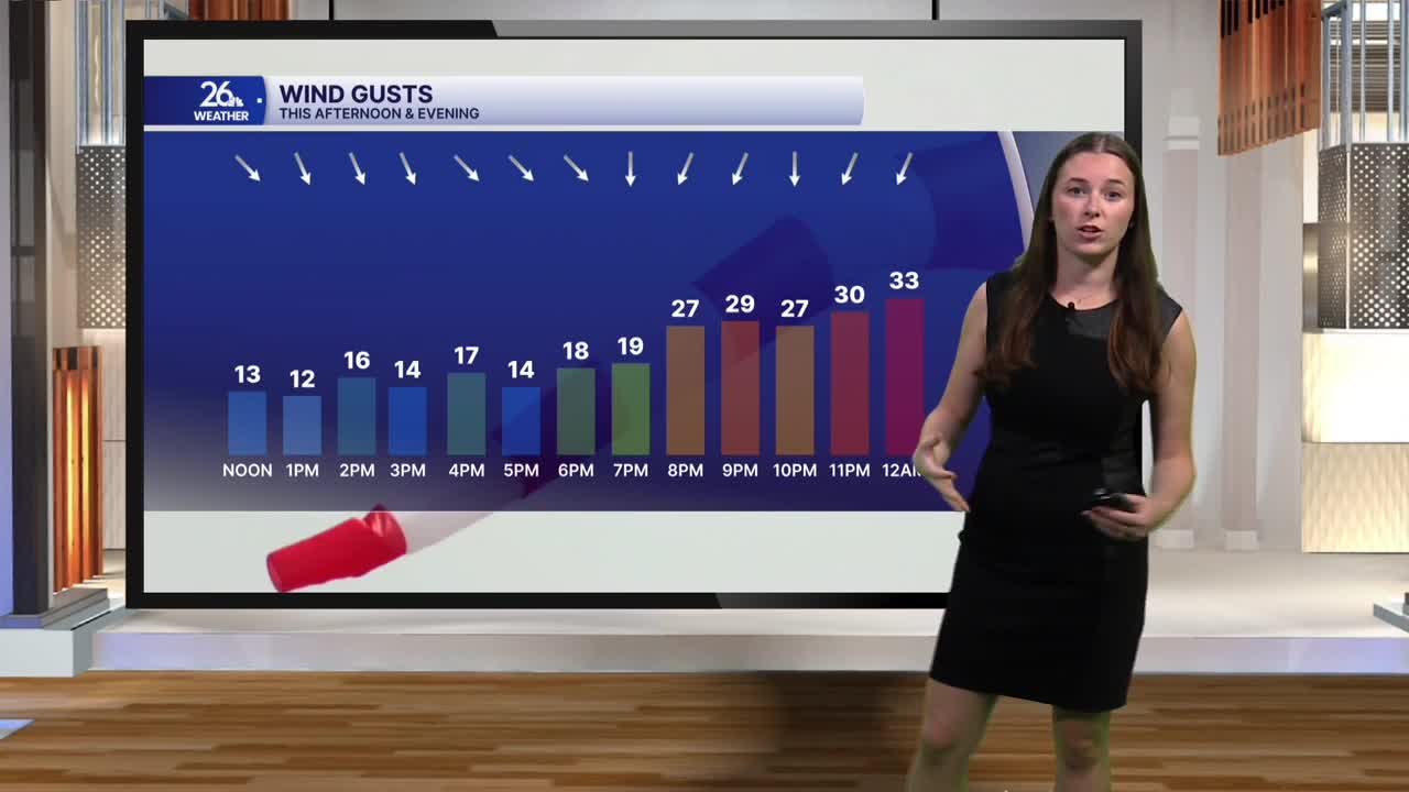
The bigger change arrives later today as a cold front moves through. Winds will turn to the north and strengthen tonight, with gusts approaching 30 mph. That northerly flow will set the stage for lake effect showers to develop overnight. Areas near the Upper Peninsula border could see a few showers, with some snowflakes mixing in.
Lake effect activity will continue into Thursday, primarily impacting the Northwoods and lakeshore communities, especially Door County. Expect a mix of rain showers and perhaps a few wet snowflakes. Temperatures will remain above freezing, and with relatively warm ground conditions, little to no snow accumulation is expected.
Thursday will feel noticeably cooler, with highs only reaching the low 40s. Add in north winds gusting near 30 mph, and it will feel even colder. Friday brings more of the same, keeping the cooler weather in place heading into the weekend.
Fortunately, sunshine returns this weekend, and temperatures will climb back closer to seasonal averages. A gradual warming trend continues into next week, with highs returning to the 50s.
The weather is shaping up nicely for the Packers-Vikings matchup at Lambeau Field. Expect mostly sunny skies, with temperatures in the low 40s around kickoff.
