

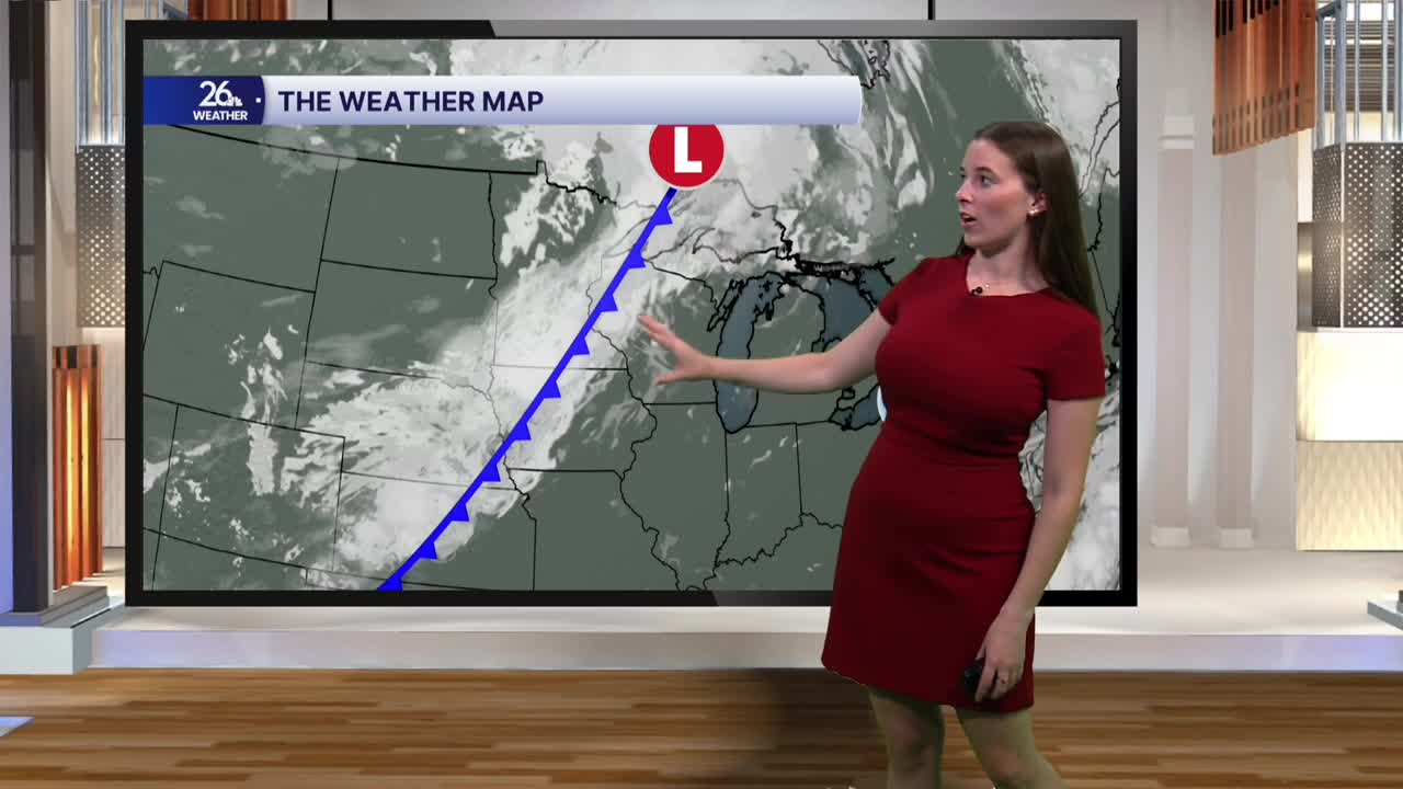


Tuesday begins with plenty of sunshine, but clouds will steadily increase throughout the day. A brief, isolated shower is possible early this afternoon, though most locations will stay dry until later in the day. By this evening and into tonight, scattered showers and a few thunderstorms will move through the area. While a rumble of thunder and a few gusty winds are possible, severe weather is not expected. The heaviest rainfall is expected to remain south of the area.
Ahead of the rain, temperatures will climb into the low to mid-80s as humidity continues to build. Dew points will rise into the upper 60s and could even reach the low 70s by late afternoon, making it feel noticeably more muggy. South winds will also become breezy at times, with gusts up to 25 mph.
A few lingering showers are possible early Wednesday, but most of the day will be dry with a mix of sunshine and clouds. Humidity will steadily fall through the afternoon while highs reach around 80 degrees.
A stretch of pleasant weather settles in for the rest of the workweek. Sunshine will be abundant, humidity will stay comfortable, and temperatures will gradually warm into the mid-80s by Friday.
