

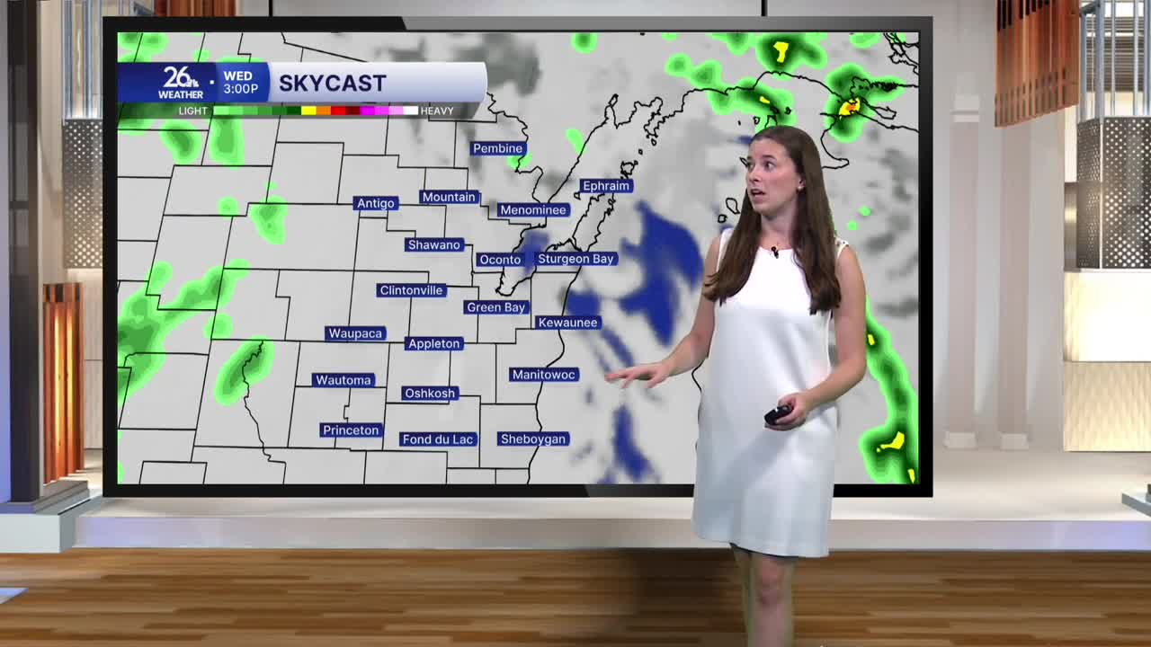


Yesterday brought another round of well-above-average temperatures, with highs climbing into the upper 60s across much of Northeast Wisconsin. That warmth is sticking around this morning, with temperatures starting off in the low 60s. We will hold in the low to mid-60s for much of Wednesday, running nearly 15 degrees above average for early November. Typically, highs this time of year reach the upper 40s.
Scattered showers are continuing across the region this morning, with cloudy skies expected to stick around throughout the day. A few isolated showers will remain possible this afternoon, although overall rain coverage will gradually decrease as the day goes on. Another round of showers moves through overnight as the system wraps around the region. Scattered shower chances will linger into Thursday before we finally dry out by Friday. Some sunshine should return just in time for the weekend.
Breezy conditions will continue today and tonight, with winds out of the southwest. However, winds will begin to shift overnight, turning out of the north by Thursday as cooler air moves into the region. Highs tomorrow will fall into the mid-50s, with temperatures continuing to cool into Friday. Friday afternoon will bring the coolest temperatures of the week, with highs only reaching the upper 40s. While this will feel like a noticeable change after several days of unusually warm weather, these temperatures are actually right in line with what we typically expect for early November.
The cool down will be short-lived, though, as above-average temperatures make a return by Sunday and look to stick around through much of next week.
