



Today is going to be a great way to start the first weekend of October. The day started with clear skies, but we’ll see a few more clouds develop throughout the afternoon. High temperatures will be seasonable, reaching the mid-60s.
Clouds will increase this evening, and overnight, a system will quickly pass through the area, bringing cloudy skies, a few light rain showers, and some breezy winds. The clouds and rain will help keep temperatures mild compared to this morning’s chilly start, with overnight lows around 50 degrees.
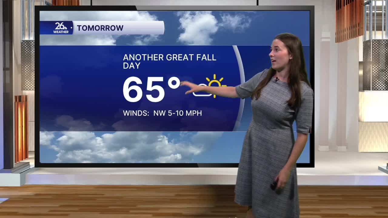
This system will move out quickly, so by the time we wake up Sunday morning, skies will return to mostly sunny conditions. Highs Sunday will once again reach the mid-60s.
Mostly clear skies Sunday night will allow temperatures to cool off significantly into Monday morning. We’ll see another chilly night Monday night into Tuesday morning as well. Because of this, frost advisories or freeze warnings are likely to be issued. Be sure to keep an eye out for those as we get closer to the start of next week.
The start of next week will remain dry and fall-like, but temperatures will gradually warm as we approach next weekend.
