

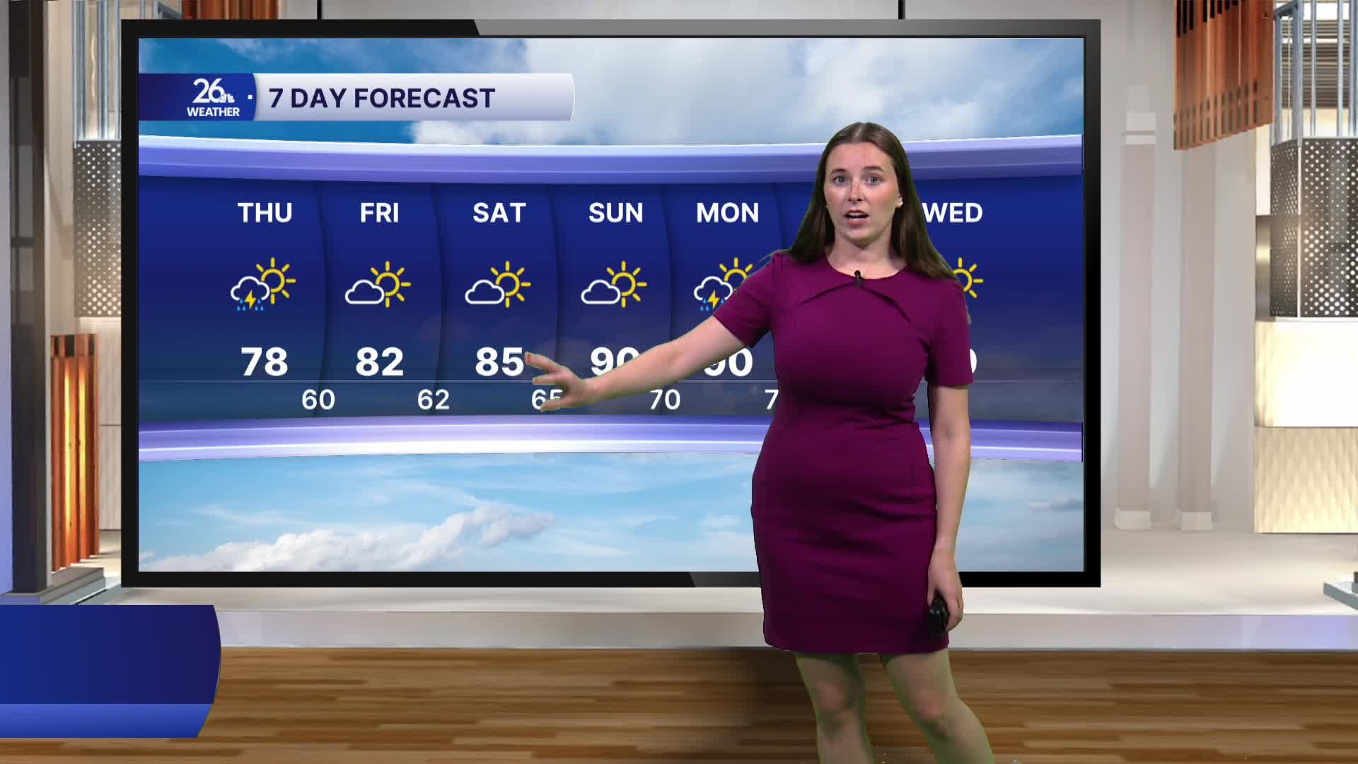


After severe storms and heavy rain on Wednesday, a few light showers will linger through the first half of Thursday. There could also be a few rumbles of thunder, but no severe weather. By this afternoon, sunshine will begin to break through the clouds. Areas of fog are also possible this morning, but visibility will gradually improve as the morning progresses.
Clouds will continue to decrease overnight, and mostly sunny weather returns to wrap up the workweek and carry us into the weekend.
Wednesday's rain moved through with a cold front that shifted winds to the northwest. As a result, today's highs will be a couple of degrees below average, topping out in the upper 70s. It will still feel fairly humid despite the slightly cooler temperatures.
Friday and Saturday will bring temperatures closer to seasonal averages, with highs in the low to mid-80s. Humidity will remain manageable through much of the weekend. By Sunday, however, both heat and humidity will begin to build. Looking ahead to next week, highs are expected to return to the 90s, with dew points climbing into the 70s, making for a hot and humid stretch of weather.
