

Summer began on Sunday, and Monday delivered beautiful summer weather, although temperatures weren't exactly summer-like. Highs yesterday were very comfortable but only reached the mid-70s. The rest of the workweek will bring more of the same, with temperatures mostly staying in the mid-70s.
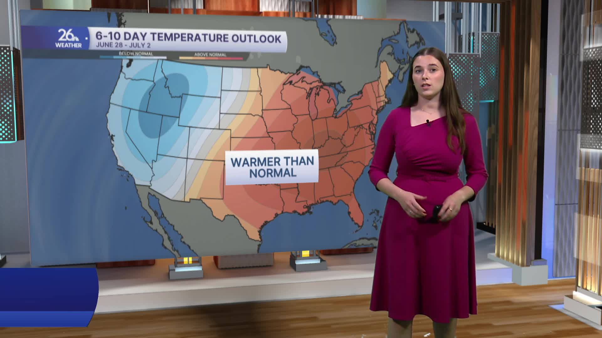
However, if you're ready for some summer heat, there is good news in the forecast. As we head into next week, warmer air settles in, with 80s returning and the potential for 90s to make a comeback. In the Green Bay area, we have not reached 80 degrees since June 13 and have only hit 90 degrees on one day this year (May 26). Temperature outlooks show Northwest Wisconsin trending above average through the end of June and the first week of July.
If you're not a fan of the heat, today is the day to get outside. Skies will feature a mix of sun and clouds as temperatures return to the mid-70s. Later in the day, clouds will begin to increase ahead of our next chance for rain.
Rain and thunderstorms move in overnight. A first wave will pass through Tuesday night and Wednesday morning before storms redevelop Wednesday afternoon. During the afternoon, a few strong to severe storms may develop, with all severe weather hazards possible.
We could also see scattered showers or thunderstorms on Thursday. Severe weather is not expected.
