

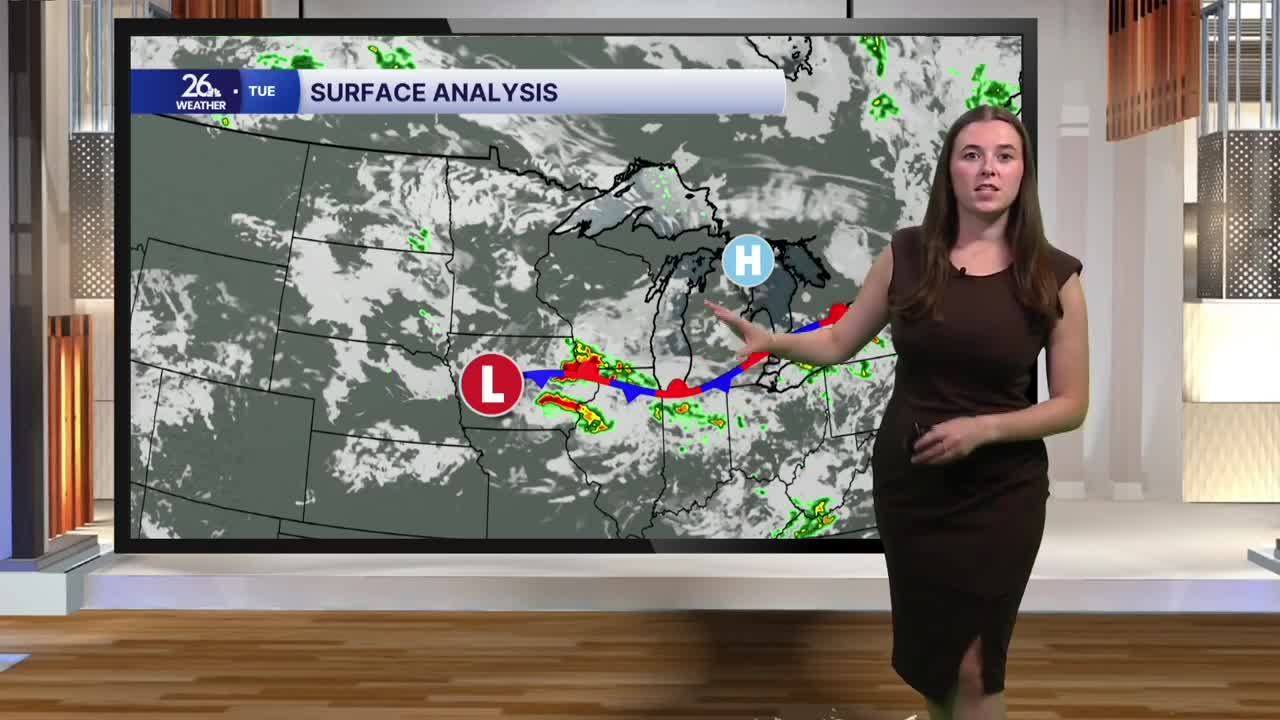


Some locally dense fog has developed this morning, especially near the lakeshore, so be careful on the roads early this morning. The fog will lift as we warm up through the morning. Outside of the fog, skies are mostly cloudy with a couple of stray showers. Tuesday will bring a mix of sun and clouds along with chances for scattered showers and thunderstorms. The first half of the day will be mostly cloudy with a chance for a shower, especially across our southern neighborhoods. Later today, the sun will begin to peek through more often, but a stray shower or storm is still possible this afternoon. Severe weather is not expected today.
It will feel summer-like today as highs climb into the low to mid-80s. Dew points in the upper 60s will make for a humid day.
Overnight, skies will gradually clear, but we could see fog redevelop late tonight into early Wednesday morning.
Tomorrow looks similar to today, with highs in the low 80s and dew points in the upper 60s. Rain chances return Wednesday afternoon as scattered showers and thunderstorms move through. While the overall severe weather threat is low, it is possible that a severe storm could develop. The main threats would be damaging winds and hail.
Thursday will bring more sunshine mixed with clouds and just a chance for a stray shower, although most areas should remain dry.
Friday looks dry, but rain chances return Saturday.
Temperatures will remain in the low 80s for most of the week before highs drop into the mid-70s by the end of the week and into the weekend.
