

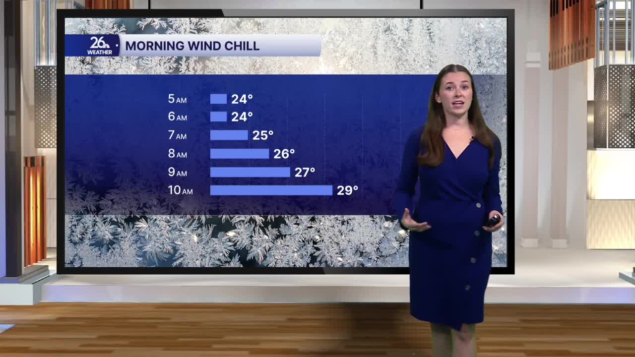


After such a mild start to the week, we are ending on a cold note. Morning temperatures are around 30 degrees, with winds making it feel like the low 20s. Winds out of the north will remain breezy today, gusting up to 30 miles per hour, and keep temperatures slightly below average. Highs today will only reach the low 40s. Skies will be partly to mostly cloudy through much of Friday.
Winds out of the north will continue to bring lake-effect impacts throughout the morning and afternoon. Bands of lake-effect showers have formed over Lake Michigan, and with cool morning temperatures, some of this precipitation has transitioned to snow. Some light snow showers are possible along the lakeshore, specifically in Door and Kewaunee counties. Much of the snow that falls will likely melt, as our recent mild weather has kept ground temperatures warm. However, there could be some accumulation, mostly on grassy surfaces. As daytime temperatures rise, precipitation will likely transition back to a wintry mix before changing over to rain. Lake-effect impacts will come to an end tonight.
This weekend, winds will ease and temperatures will return to seasonable levels, although it will still be cool. Highs will be in the mid-40s. Saturday will start with a mix of sun and clouds, with more sunshine expected toward the end of the day. Sunday looks beautiful and sunny.
Weather will be nice for the Packers-Vikings game, but don't forget your layers as you head to Lambeau. Temperatures will be in the 30s while tailgating, slowly climbing into the low 40s by kickoff and the upper 40s by the end of the game. Skies will be blue, and the breeze will be light.
The next week starts with plenty of sunshine, helping temperatures climb back above average. Next week brings a return to the 50s.
