

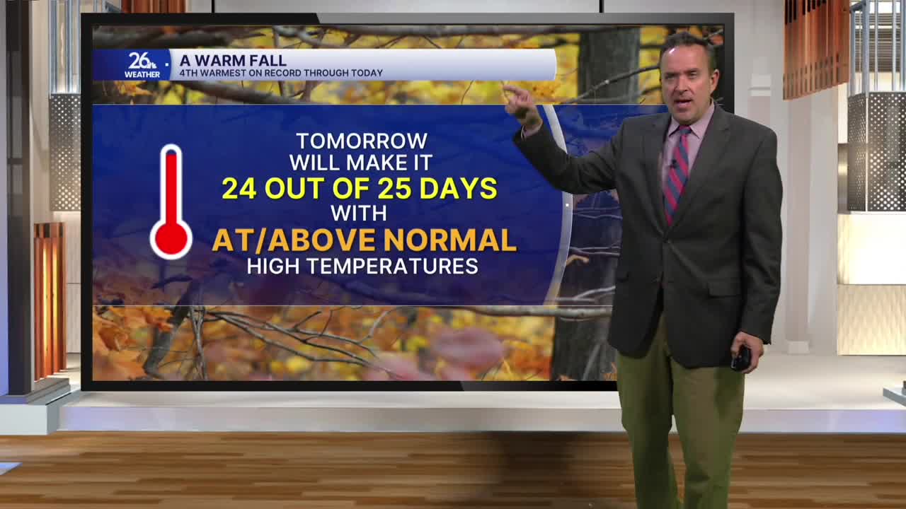


Even though our normal high is now in the mid-40s, high temperatures today reached the 60s for the sixth time this month. Along with the warmth, we had plenty of sunshine and, at times, a gusty westerly wind.
However, the quiet, pleasant weather we’ve been enjoying is about to end. A cold front will move through overnight, bringing a chance of light rain or showers, with temperatures falling into the lower 40s by daybreak on Wednesday.
After five mostly sunny days in a row, Wednesday will turn mostly cloudy. Morning showers will give way to a slight chance of afternoon showers or sprinkles. High temperatures will reach the lower 50s, still above normal for this time of year. Winds will shift to the north on Wednesday and really start to crank up by Wednesday night into Thursday, allowing much colder air to pour south out of Canada.
High temperatures on Thursday and Friday will only reach the upper 30s to the lower 40s, making it cold enough for some snow. While the entire area faces the threat of rain or snow showers, sprinkles, or flurries from Thursday into Friday, the best chance for accumulation will be north and east of Green Bay thanks to the lake-effect setup.
Sunshine returns over the weekend as temperatures slowly warm back up. Much warmer weather then arrives early next week and looks to stick around for the foreseeable future.
