

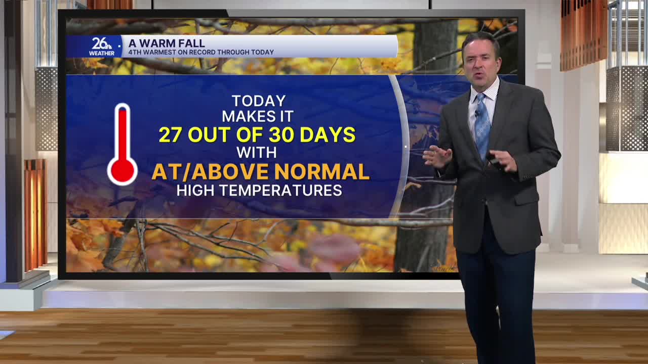


After four straight days with highs in the 40s, temperatures rebounded into the 50s this afternoon across Northeast Wisconsin. The warmer-than-normal temperatures were accompanied by a mix of sun and clouds and a gusty southwest wind.
We can expect clear skies tonight, and it will not be as cold as it has been, with lows in the mid-to-upper 30s. Overnight temperatures have been at or below freezing for the last five days.
The warm-up continues tomorrow with gusty southwest winds and plenty of sunshine. Most of us will see highs in the 50s, with some reaching around 60 degrees.
On Wednesday, a mix of sun and clouds and another gusty southwest wind will help temperatures climb into the lower 60s.
More of the same is likely on Thursday and Friday.
Our next significant weather maker arrives Saturday evening and continues into Sunday morning, bringing a chance of showers. On Saturday, temperatures will remain in the 60s. Behind the system on Sunday, gusty north-to-northwest winds will keep highs in the 40s, which is right where we should be for this time of year.
Even with the cooler weather moving in for Sunday and Thanksgiving week, temperatures are still expected to stay at or above normal.
