

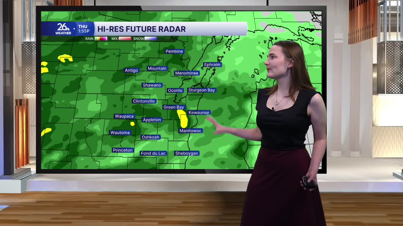


We have a rainy and cool Thursday afternoon on the way, with high temperatures only reaching the mid-50s, slightly below average for mid-October.
Rain moves in this afternoon and lingers into the evening. Showers become more scattered tonight, but a few will stick around overnight and into the first part of Friday. Once the system moves out of the area, rainfall totals should range from a half-inch to about an inch across Northeast Wisconsin.
As the rain gradually winds down, winds will begin to pick up. Conditions become breezy during the overnight hours before winds strengthen Friday morning. By Friday afternoon, north winds could gust as high as 40 mph. These gusty winds will usher in colder air, keeping highs in the low 50s, with a few spots struggling to climb out of the upper 40s.
By Friday evening, the rain and clouds will clear out, and winds will begin to calm. This will allow temperatures to drop quickly overnight. By Saturday morning, many across the area could wake up to temperatures below freezing, bringing the first widespread freeze of the season and signaling the end of the growing season for many.
Conditions improve heading into the weekend. Sunshine returns Saturday, with highs in the mid-50s and even warmer temperatures expected Sunday. The warming trend continues into next week, with highs reaching the mid-60s Monday before climbing into the upper 60s by the middle of the workweek.
