

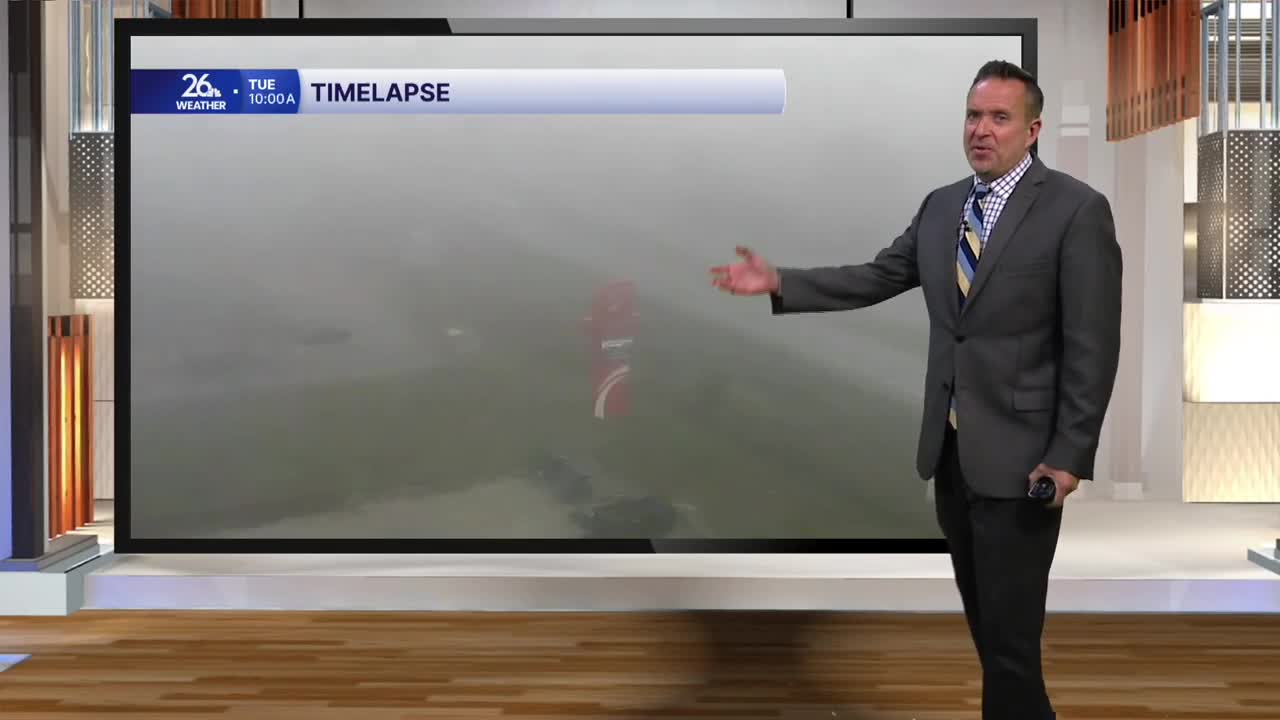


With clear skies, light winds, and ample low-level moisture, we saw widespread dense fog across the area this morning. Visibility dropped to one-sixteenth of a mile at times before the fog finally burned off in the early afternoon. Once it cleared, we enjoyed beautiful blue skies, sunshine, and above-normal temperatures in the 60s.
It looks like we can expect more of the same tomorrow. High pressure remains in control, so we will once again see fog overnight. The fog could be locally dense in places, but it will burn off in the sunshine by tomorrow afternoon.
As winds turn to the south and west, most locations will warm by 2 to 5 degrees compared to today. That puts afternoon highs in the upper 60s to around 70 degrees—well above our normal high in the mid-50s.
On Thursday morning, a cold front will move through the region. By the afternoon, this will create a wide range of temperatures across the area. Expect highs in the 40s near the lake, 50s and 60s inland, and even the lower 70s across parts of Central Wisconsin. After some morning fog on Thursday, we will see a mix of sun and clouds by the afternoon.
Looking ahead to the weekend, clouds will continue to mix with sunshine, and temperatures will remain pleasant in the above-normal 60s.
