



It was a mostly cloudy day across northeast Wisconsin, with plenty of haze and reasonable temperatures in the upper 70s to lower 80s. There were a few scattered showers & storms.
High pressure will build into the state overnight.
We can expect slow clearing, with some patchy dense fog developing. On Friday, we’ll have dry weather with a decent amount of sunshine, although it will be smoky sunshine once again, thanks to wildfires out west.
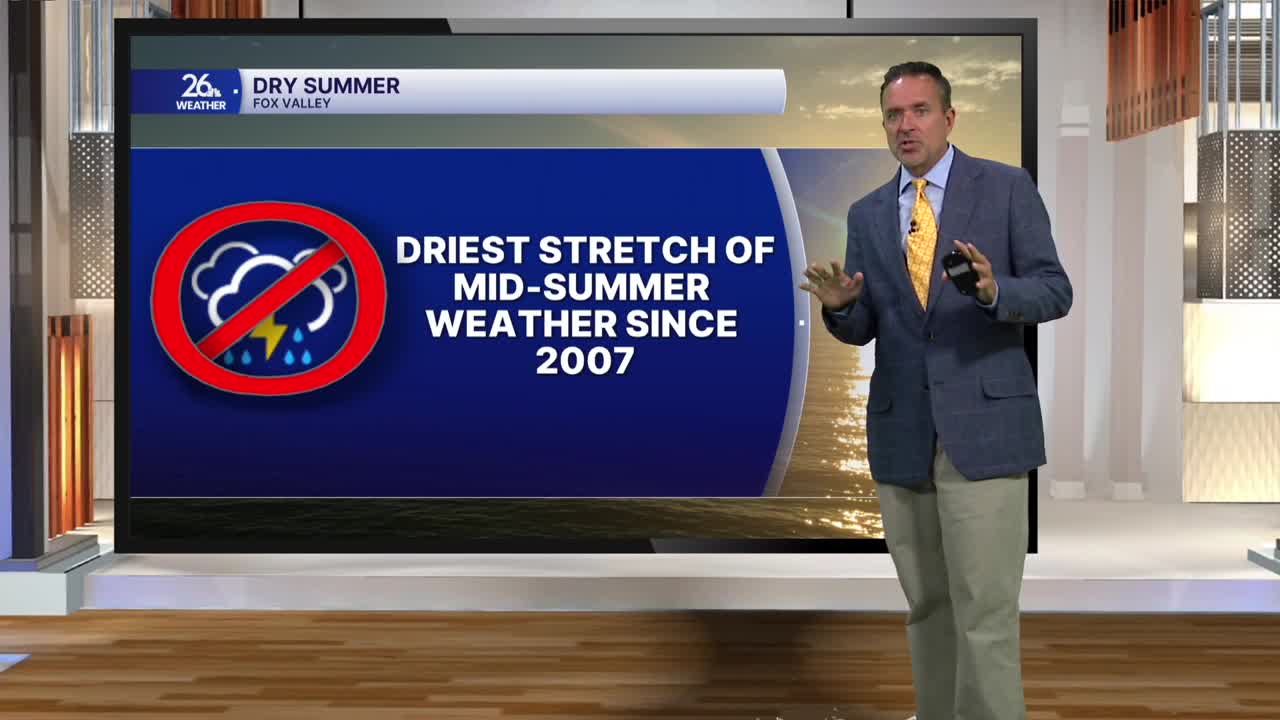
The brand-new U.S. Drought Monitor came out today and shows that most of Northeast Wisconsin is currently experiencing moderate drought conditions. In other words, we need some rain—and we’re going to get some.
Showers and thunderstorms will arrive on Saturday, especially during the afternoon and evening, and continue into Sunday morning. Many spots could see more than a half-inch. Sunshine returns by Sunday afternoon. Highs will be in the 70s on Saturday and the lower 80s on Sunday.
Next week looks unsettled, with several more chances for showers and thunderstorms. Hopefully, we’ll see some beneficial rainfall along the way.
