



After a gloomy and rainy Saturday, things are starting to look up at least a little bit for the second half of the weekend.
This afternoon is going to start off mostly cloudy, with temperatures in the mid to upper 70s. By the late afternoon, skies will clear slightly, with partly cloudy conditions taking over and temperatures topping out in the upper 70s to low 80s across the area. However, it will be very humid today, with dew points expected in the upper 60s to low 70s. We cannot rule out the chance for a spotty shower either, especially this afternoon into this evening. Some of those showers could have a couple of rumbles of thunder mixed in as well.
Tonight, temperatures are going to drop into the mid to upper 60s, possibly into the low 70s in a few places.
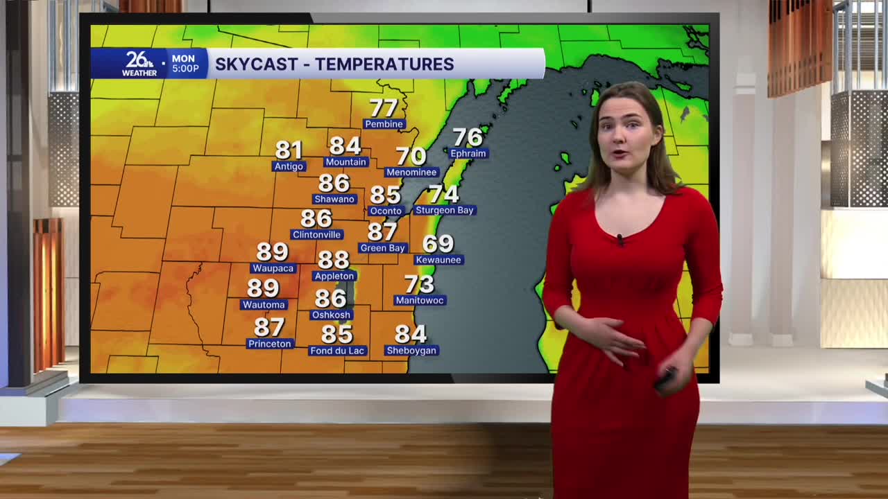
Things really start to heat up as we head into Monday. Temperatures are expected to reach the mid to upper 80s, with a few locations possibly getting close to 90 degrees. Dew points will once again be in the upper 60s to low 70s under mostly sunny skies. This will allow heat index values to climb into the upper 80s to possibly the low 90s across the area.
This is just the beginning of a warmer and more active pattern moving into the area as we end the month of August and begin September on Tuesday. Chances for showers and storms will exist near every day for the next week, with temperatures expected to remain in the 80s through at least next Saturday.
