

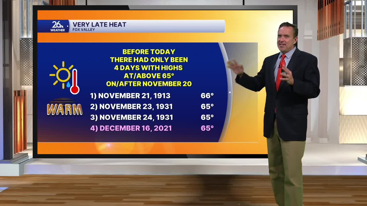


Before today, there had been only four days with highs at or above 65° on or after November 20—now there are five!
With abundant sunshine and gusty southwest winds, temperatures climbed into the mid- and upper 60s today. That was good enough to set a brand-new record high, beating our normal high by 25 degrees.
Saturday is the kickoff to gun-deer season here in Wisconsin, and it will be the warmest opener on record. The forecast calls for a high of 68°, breaking the previous record of 66° set more than 100 years ago. If we hit 68°, it will also mark the latest occurrence of that temperature on record here in the Fox Valley.
A mix of sun and clouds on Saturday will give way to thickening clouds and perhaps a few showers by evening. A cold front will bring rain Saturday night into Sunday morning.
Behind that front on Sunday, morning rain will taper off to scattered showers as winds shift to the northwest, gusting up to 30 mph at times, with temperatures holding in the 40s.
Much cooler air moves in for Monday and Tuesday, with highs only expected to reach the 30s to around 40°, though next week looks quiet overall. Temperatures will start to rebound by Wednesday and should climb well above normal once again by Thanksgiving.
