



It was a rather dreary Saturday afternoon as showers moved through the area. Temperatures reached their peak very early this afternoon in the low to mid 70s before the rain cooled us down into the low 70s and upper 60s.
A majority of the showers and storms will have moved out by this evening, however a few showers may linger tonight. Otherwise, we will see mostly cloudy skies. Temperatures will hold in the low to mid-60s this evening into the overnight hours. A stray shower is also possible in the pre-dawn hours on Sunday.
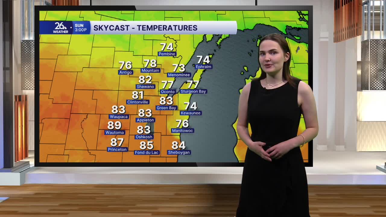
Temperatures on Sunday will make it into the low 80s, warmer than what we saw today. We do have another chance of seeing some showers and storms tomorrow afternoon and evening, but they will be more scattered in nature.
The weather we are seeing this weekend is just the start of a warmer and more active pattern that is coming our way as we finish out the month of August and kick off meteorological fall with the start of September on Tuesday. Temperatures on Monday are expected to make it into the mid to possibly upper 80s, with heat index values in the low 90s possible. Throughout the rest of the week, temperatures are expected in the low to mid-80s, with dew points in the upper 60s to low 70s. This warm and humid air will help to fuel almost daily chances for showers and storms.
