

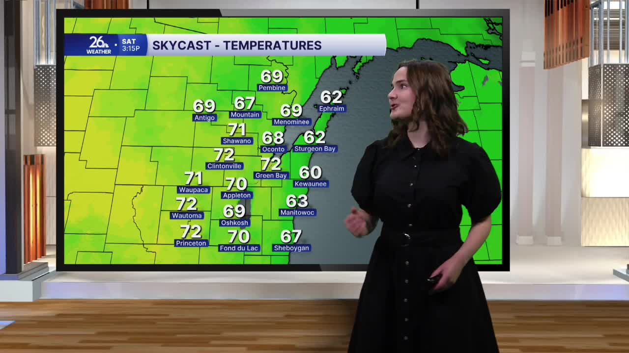


This afternoon brought us some beautiful weather, with highs across much of the area reaching the low 70s under mostly sunny skies. Normally, our highs in late October are in the mid-50s, so temperatures were running about 15 degrees above average today!
Skies will start out partly cloudy tonight, with more clouds gradually moving in from the north and west. Lows will drop to around 50 degrees, and we’re not expecting any widespread fog — a welcome change after the last four mornings.
Saturday brings another day of warm weather, with a mix of clouds and sunshine and highs in the low 70s. It may get a bit breezy at times, too, with south winds gusting up to 20 mph during the afternoon.
More clouds will move in on Sunday, keeping highs in the mid-60s — still above average for this time of year. We could see a stray shower or two across some of the northern counties during the afternoon, but most of the area will stay dry.
A more seasonable pattern returns as we begin the workweek. Highs on Monday and Tuesday will reach only the low to mid-50s under cloudy skies, with a chance of light showers both days. The cooldown will be brief, though, as temperatures climb back into the 60s on Wednesday.
