

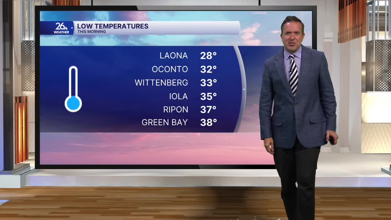


After another chilly morning with temperatures in the mid-to-upper 30s and patchy frost, northeast Wisconsin enjoyed a mostly sunny, cool afternoon. Highs reached only the upper 50s to lower 60s, 3 to 5 degrees below normal for this time of year.
Big changes are on the way starting tonight as a warm front moves through the Great Lakes. This system will bring mostly cloudy skies, a few scattered showers, and much milder overnight lows in the 40s to around 50 degrees.
On the other side of that front, Tuesday will bring gusty southwest winds over 30 mph, plenty of sunshine, and a major warm-up. Expect afternoon highs to reach the upper 60s to the lower 70s. These warmer temperatures will persist into Wednesday before we cool down slightly on Thursday and Friday.
Another warm front will move through Friday night, bringing a chance of a shower or thunderstorm. Behind it, summer-like warmth will surge into the Badger State over the weekend. Gusty south winds and abundant sunshine will push temperatures into the upper 70s and lower 80s on Saturday and Sunday. In fact, record highs for this weekend are in the lower 80s, and a few spots could come close to tying or breaking them.
