

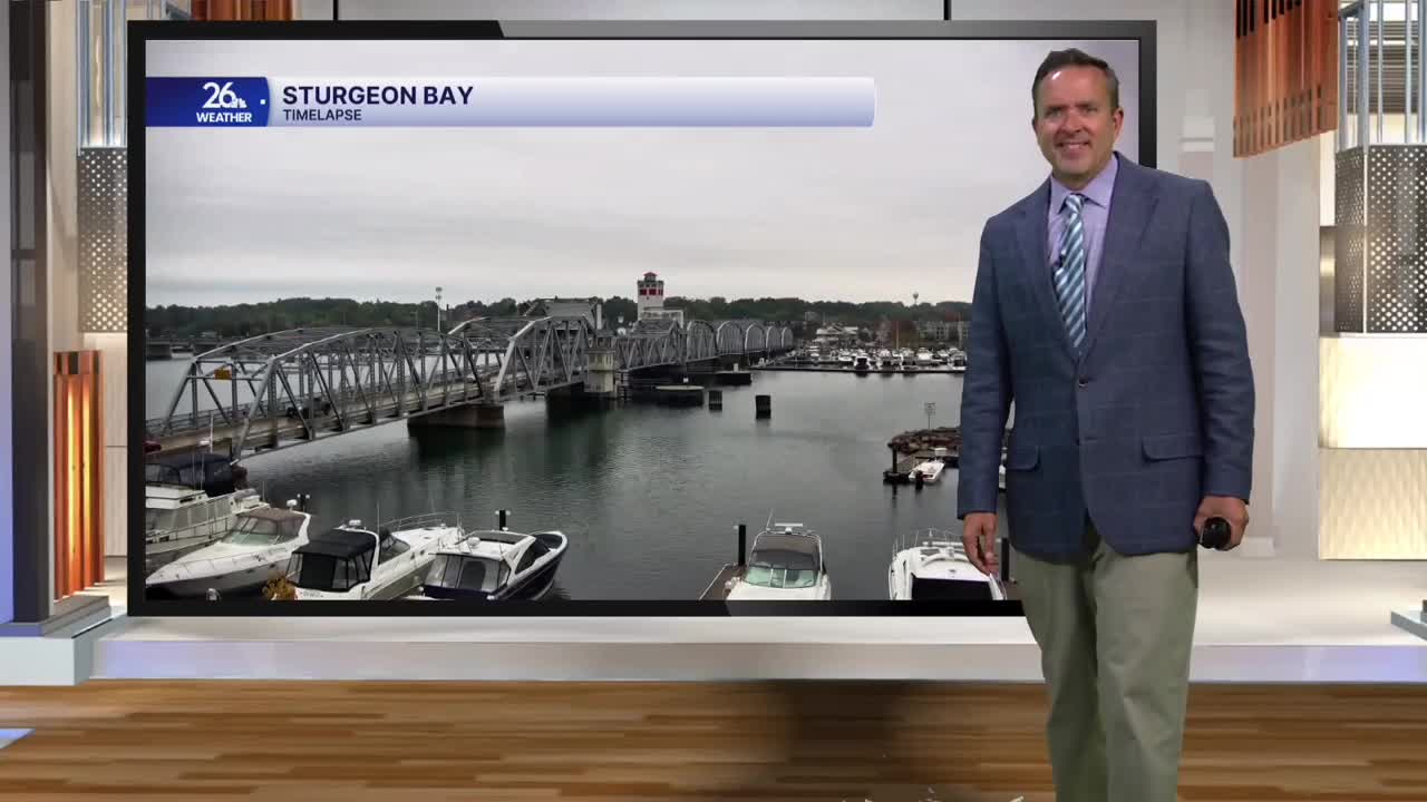


After seven straight mostly sunny days, a wet night left most of Northeast Wisconsin under cloudy skies today. Although it remained overcast, temperatures stayed above normal, hovering in the upper 60s to the lower 70s.
According to the latest computer forecast models, today’s dry weather will give way to more rain tonight. While the heaviest rainfall is expected to pass well to our south across Iowa and far southern Wisconsin, parts of the NBC 26 viewing area could still receive an inch or more of rain by Thursday afternoon. The best chance for heavier rain will be south and east of Lake Winnebago.
Behind this system, high pressure will begin building back in tomorrow afternoon. This means dry conditions will return, along with cooler temperatures.
Tomorrow is October 1st, when the normal high is 65 degrees. We are officially on the verge of completing a weather 180. After eight straight days of below-normal highs earlier, we have now seen seven consecutive days with above-normal temperatures.
Tomorrow marks day eight of that warm streak, with highs reaching the upper 60s to lower 70s.
Looking ahead to Friday, expect plenty of sunshine and cooler readings. It will be a comfortable & seasonable finish to the week with temperatures in the mid-60s.
