



Thanks to high pressure, the beautiful weather we enjoyed on Sunday continued today, with lots of sunshine and high temperatures generally reaching the lower to middle 80s away from Lake Michigan.
Climatologically, we also passed a major milestone in our summer weather. The normal high temperature was 81° yesterday, but it drops to 80° today. In just 10 days, the normal high falls into the upper 70s.
In other words, the summer slide toward fall has officially begun.
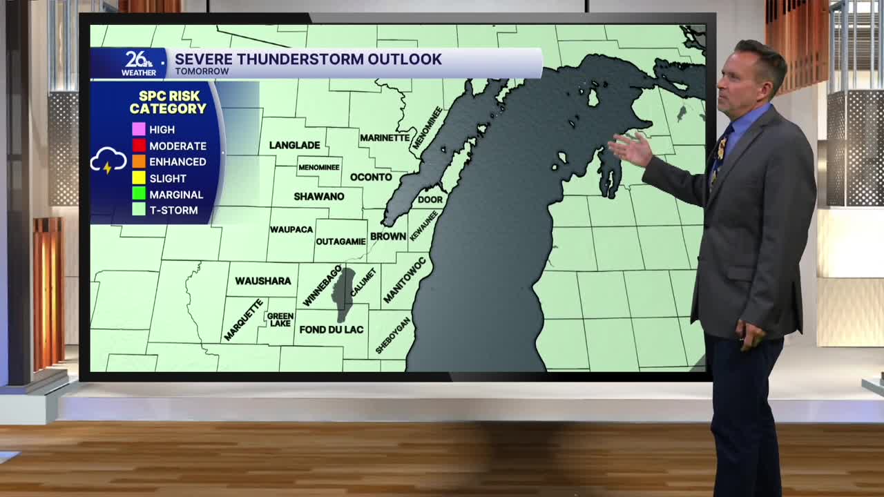
Another summer-like day is on the way Tuesday, with highs once again reaching the lower to middle 80s. A cold front moving through Tuesday night will give areas north and west of Green Bay an isolated chance of a shower or thunderstorm Tuesday afternoon. More widespread showers and thunderstorms are likely Tuesday night as a cold front moves through the area.
Severe weather is not expected this week. If that holds true, it will be the first time in 12 weeks that we have not experienced severe thunderstorms at some point during the week.
Wednesday morning clouds will give way to sunshine as cooler and less humid air moves in behind the cold front. Highs will reach the upper 70s to around 80°.
Temperatures will rebound into the middle and upper 80s by Friday. Right now, the weather for Packers Family Night on Friday looks fantastic, with plenty of sunshine and temperatures in the lower 80s when the players take the field.
