



After the warmest day of the month yesterday, with highs in the mid-80s, temperatures this afternoon were in the upper 70s to lower 80s, which is right where we should be for this time of year.
The big change from yesterday to today was the humidity. Dew points dropped from around 70 into the 40s and 50s, making it much more comfortable.
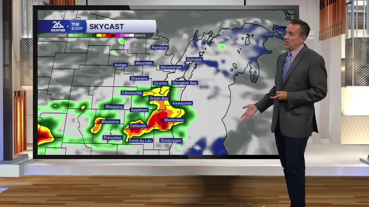
A cold front will replace high pressure as our main weather maker as we head through tomorrow, bringing scattered showers and thunderstorms. There is a marginal threat for severe weather south and west of Lake Winnebago, where a few storms could produce gusty winds and hail. High temperatures will be in the upper 70s to lower 80s, depending on cloud cover.
High pressure builds back in for Wednesday and Thursday, with mostly sunny skies and highs near 80, followed by a pretty good chance for showers and thunderstorms on Friday.
We need the rain. Most of Wisconsin is now experiencing moderate to severe drought conditions.
