



After highs in the 60s yesterday, temperatures were only in the 50s this afternoon, and even colder weather is on the way. Thursday's temperatures will be in the 40s, and by Friday, we could be looking at the 30s across much of Northeast Wisconsin. In other words, the winds of change are here.
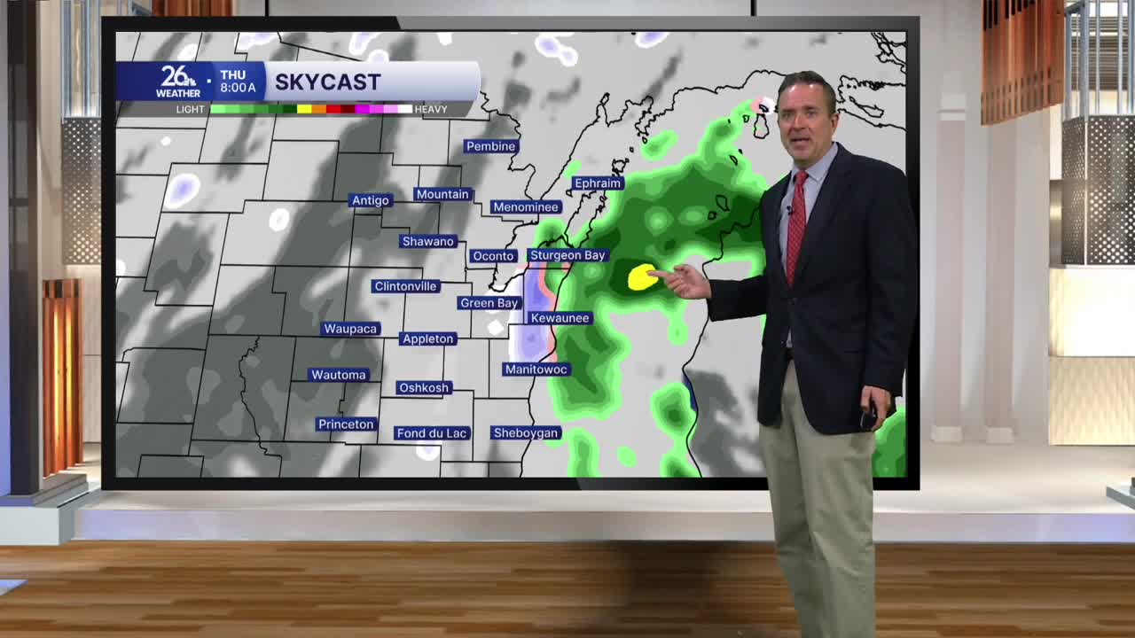
This shift is due to a cold front. Behind the front tonight, we will have gusty northerly winds—at times over 30 miles per hour. The cold air will also move over the relatively warmer waters of Lake Superior, producing lake-effect snow showers that will move south into Northeast Wisconsin late tonight or early tomorrow morning. Because temperatures will be borderline, these showers could fall as either rain or snow, though they will be more miss than hit.
By daybreak on Thursday, temperatures will be in the low to mid-30s, but those gusty northerly winds will create wind chills that make it feel like the low to mid-20s.
Mostly cloudy skies are expected on Thursday, with a chance of a few hit-or-miss rain or snow showers. High temperatures will reach the upper 30s to the lower 40s, though wind chills will make it feel much colder throughout the day. The same pattern is expected on Friday.
Looking ahead to the weekend, Saturday will feature a mix of clouds and sunshine, giving way to increasing sunshine on Sunday as temperatures climb back into the mid-40s. That marks the start of a warming trend that ramps up early next week, with highs returning to the 50s. For context, the normal high for this time of year is in the mid-40s.
