



We were running a good 20° above normal for this time of year, though still about 10° shy of the record high. That will change over the next couple of days. Increasing high clouds can be expected overnight, but the weather will stay quiet as winds diminish.
On Friday, a mix of sun and clouds, along with gusty southerly winds, will boost temperatures back into the lower and mid-60s. Friday's record high is 62°, and that’s certainly within reach.
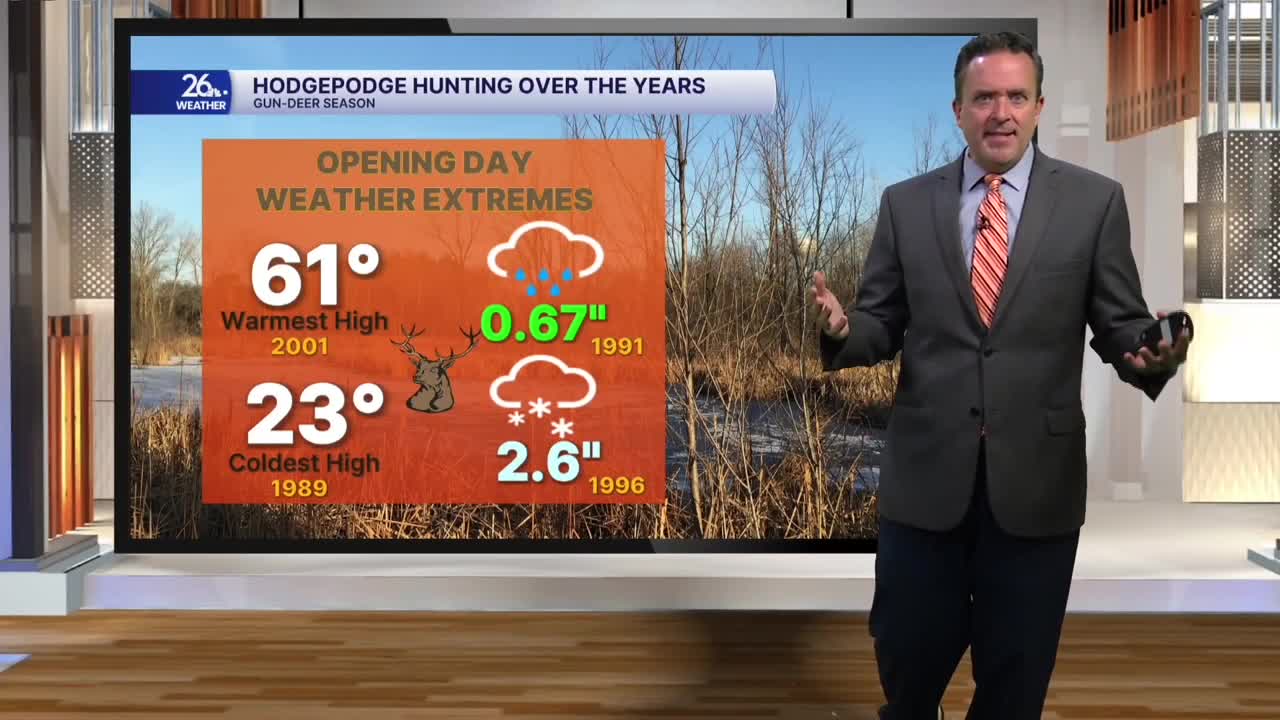
On Saturday, sun and clouds paired with gusty southwest winds will push temperatures into the mid- and upper 60s—about 25° above normal for this time of year. As on Friday, there's a chance to break the record high, which currently stands at 66°.
This will make for the warmest kickoff to the gun deer season on record.
By Saturday afternoon, clouds will thicken, and we’ll have a chance for a few showers. Those showers will arrive ahead of a cold front that will swing through the area Saturday night into Sunday morning.
Sunday will start with steady rain before tapering off to scattered showers by the afternoon. The bigger story is what follows the cold front as it moves east: we can expect gusty northwest winds and temperatures holding in the 40s.
Cooler weather moves in Monday through Wednesday. Even with ample sunshine, highs will stay in the 30s to around 40°, about 3 to 4° below normal for this time of year.
We can expect mostly sunny skies on Wednesday as you travel "over the river and through the woods to grandmother’s house," with highs near 40°. By Thanksgiving Day, temperatures should rebound slightly into the lower to mid-40s, with a mix of sun and clouds.
