

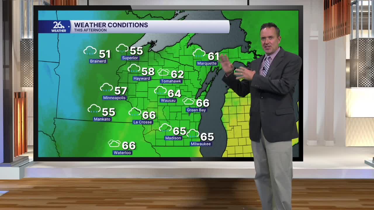


Even with thick, low clouds, on-and-off rain, and some patchy fog, gusty southerly winds pushed temperatures into the mid-to-upper 60s this afternoon. Most locations missed tying or breaking record highs by only three to six degrees.
The system responsible for giving us back-to-back days of clouds and rain is ready to do it all over again—and the pattern will repeat starting tonight.
Expect cloudy skies with on-and-off rain and maybe even a rumble of thunder. Overnight lows will hold in the lower 60s, nearly 30 degrees above normal for this time of year.
On Wednesday, periods of morning rain will taper off to scattered showers and sprinkles by the afternoon. Much like today, gusty southerly winds mean highs will stay in the above-normal 60s for the fifth straight day.
The area of low pressure responsible for the damp weather finally moves through tomorrow night. Behind it on Thursday, we'll keep a lingering chance of showers, but we'll see a significant change. Gusty northwest winds over 30 miles per hour will keep highs in the 50s. That will be followed by highs only in the 40s on Friday, making it our coldest day in six months.
This shot of cool air lasts only one day—& it will be seasonable, considering our normal high is in the mid-to-upper 40s right now.
The 50s return by the weekend, and we could even see more 60s heading into next week.
