

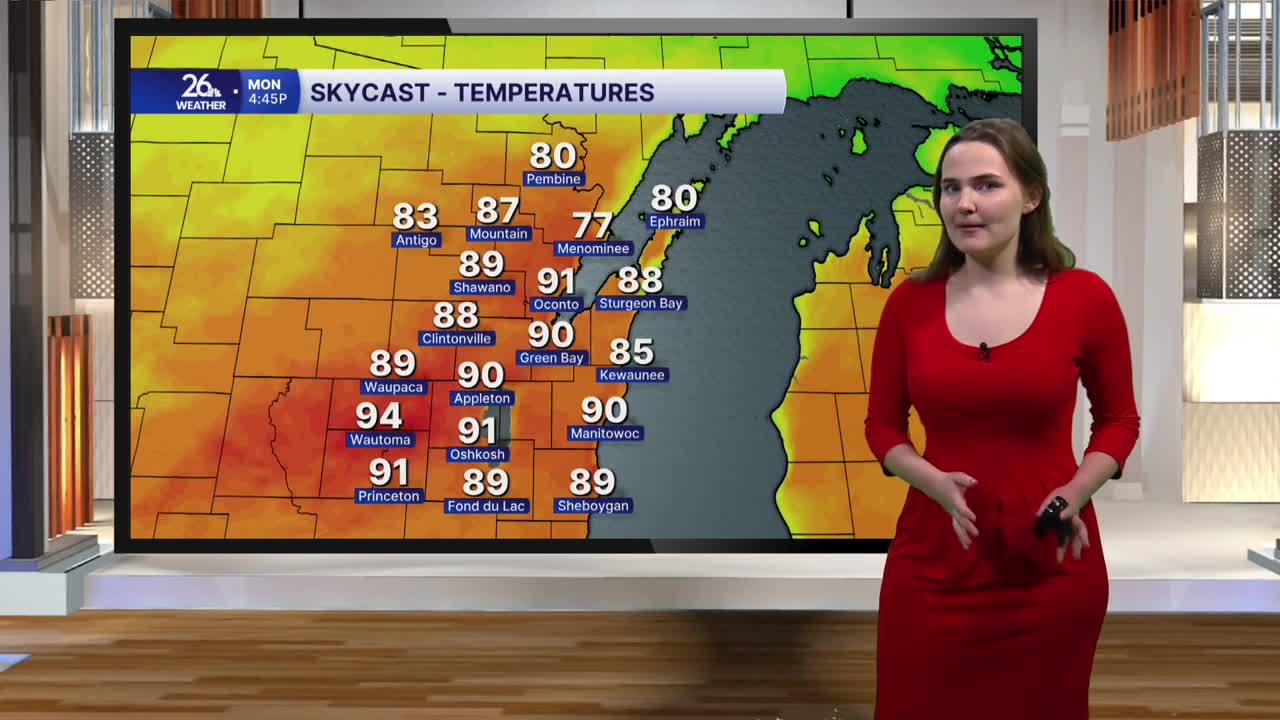


It was a bit cloudier than expected today, but temperatures nonetheless made it into the upper 70s to around 80 degrees this afternoon. Things begin to heat up starting tonight.
This evening will be fairly mild, albeit humid, with temperatures in the mid-70s and dew points in the 60s under mostly cloudy skies. Heading into the overnight hours, temperatures will only fall into the mid- to upper 60s for most of the area, with a few readings in the low 70s possible in some of the southern counties. A stray shower or sprinkle is also possible overnight through just before dawn Monday.
It will feel more like the middle of July than the last day of August on Monday, as temperatures for most of us will reach the upper 80s to low 90s in the afternoon under mostly sunny skies. Dew points will once again be in the upper 60s to low 70s tomorrow, which will allow heat index values to top out in the upper 90s to near 100 degrees.
Since it will be so hot and humid, there will also be a slight risk of an isolated shower or storm late Monday afternoon and evening. Any storms that do develop have the potential to become strong to severe, with the main threats being gusty winds and hail, along with a very low tornado risk.
This warm and active pattern will continue as we head into the month of September on Tuesday. There is a chance for showers and storms nearly every day over the next week, while temperatures are expected to remain in the 80s through the first part of Labor Day weekend.
